
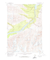
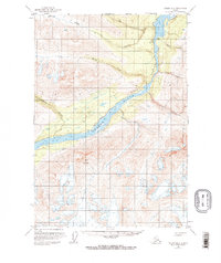
1951 Map of Valdez B-2
USGS Topo · Published 1959About this map
The Copper River dominates this interior Alaskan landscape, carving through the dramatic bottleneck of Wood Canyon. Surveyed in the early 1950s, the map reveals a wilderness where hydrological monitoring was critical for understanding this powerful glacial drainage system. The presence of the Taral Gaging Sta near the mouth of Taral Creek marks a vital point of data collection in an era of expanding territorial infrastructure. Rising sharply to the southwest, Spirit Mountain anchors the high-elevation terrain, while the confluence of the Hanagita River provides a glimpse into the intricate network of tributaries feeding the main channel. The map also delineates several family or landmark-named waterways, including O'Brien Creek and Haley Creek, which cut through the steep contours flanking the river valley.
Find a feature on this map
11 named features on this map. Tap any name to fly to it.
Don’t see what you’re looking for? This feature index may not catch every label — zoom into the map to look around manually.
Map Details
Editions of this 1951 Valdez B-2 Map
3 editions found
Other maps of this area

1950 · Valdez A-3
USGS Topo · 1:63,360

1951 · Valdez B-3
USGS Topo · 1:63,360

1951 · Valdez B-1
USGS Topo · 1:63,360

1951 · Valdez A-1
USGS Topo · 1:63,360

1951 · Valdez C-2
USGS Topo · 1:63,360

1951 · Valdez C-3
USGS Topo · 1:63,360

1951 · Valdez C-1
USGS Topo · 1:63,360

1951 · Valdez A-2
USGS Topo · 1:63,360

1952 · Valdez
USGS Topo · 1:250,000

1953 · Valdez C-2
USGS Topo · 1:63,360