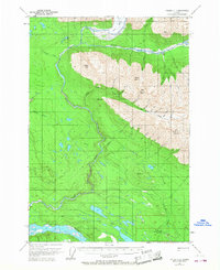
1951 Map of Valdez C-1
USGS Topo · Published 1968About this map
Chitina River and Kotsina River valleys dominate this interior Alaskan landscape as it was documented in the early 1950s. The settlement of Strelna serves as a focal point near the southern edge, situated alongside the Old Railroad Grade and a Landing Strip. This transportation corridor reflects the era's reliance on both rail remnants and emerging aviation for access to the backcountry.
Find a feature on this map
35 named features on this map. Tap any name to fly to it.
Don’t see what you’re looking for? This feature index may not catch every label — zoom into the map to look around manually.
Map Details
Editions of this 1951 Valdez C-1 Map
4 editions found
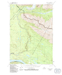
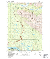
Other maps of this area

1951 · McCarthy
USGS Topo · 1:250,000

1951 · Valdez B-2
USGS Topo · 1:63,360

1951 · Valdez B-1
USGS Topo · 1:63,360

1951 · McCarthy C-8
USGS Topo · 1:63,360

1951 · Valdez C-2
USGS Topo · 1:63,360

1951 · McCarthy B-8
USGS Topo · 1:63,360

1951 · Valdez C-1
USGS Topo · 1:63,360

1952 · Valdez
USGS Topo · 1:250,000

1953 · Valdez C-2
USGS Topo · 1:63,360

1953 · Valdez C-1
USGS Topo · 1:63,360