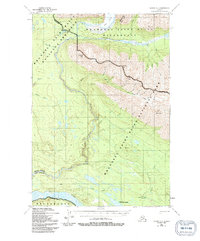
1951 Map of Valdez C-1
USGS Topo · Published 1991About this map
The Chitina River and its glacial tributaries carve through this high mountain corridor, reflecting a landscape defined by dramatic elevation changes and remote outposts. In this 1951 survey, the presence of a Railroad Grade near the southern margin indicates the path of the former Copper River and Northwestern Railway, which once linked coastal ports to interior copper deposits. Several isolated structures, such as those labeled Cabins and a Mine near Deception Creek, point to the region's enduring history of prospecting and subsistence. High peaks like Hubbard Peak and Alice Peak tower over the Kotsina River drainage, where the terrain transitions from the Long Glacier down to the brushy flats near the Landing Strip Strelna and Strelna Lake. This sheet captures the intersection of early industrial infrastructure and the preservation of the Alaskan wilderness.
Find a feature on this map
37 named features on this map. Tap any name to fly to it.
Don’t see what you’re looking for? This feature index may not catch every label — zoom into the map to look around manually.
Map Details
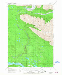
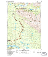
Editions of this 1951 Valdez C-1 Map
4 editions found
Other maps of this area

1951 · McCarthy
USGS Topo · 1:250,000

1951 · Valdez B-2
USGS Topo · 1:63,360

1951 · Valdez B-1
USGS Topo · 1:63,360

1951 · McCarthy C-8
USGS Topo · 1:63,360

1951 · Valdez C-2
USGS Topo · 1:63,360

1951 · McCarthy B-8
USGS Topo · 1:63,360

1951 · Valdez C-1
USGS Topo · 1:63,360

1952 · Valdez
USGS Topo · 1:250,000

1953 · Valdez C-2
USGS Topo · 1:63,360

1953 · Valdez C-1
USGS Topo · 1:63,360