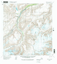
1959 Map of Nabesna A-5
USGS Topo · Published 1975About this map
Nabesna Glacier and the massive Jacksina Glacier dominate this mid-century topographic study, which captures the raw glacial hydrology of the eastern Alaska Range. Flowing from these high ice fields, the Jacksina Creek carves a deep valley northwards, joined by tributaries like Mesa Creek and Monte Cristo Creek. The landscape is defined by extreme elevation changes near Mt Gordon, where steep contours reveal a complex network of ridges and drainage basins.
Find a feature on this map
9 named features on this map. Tap any name to fly to it.
Don’t see what you’re looking for? This feature index may not catch every label — zoom into the map to look around manually.
Map Details
Editions of this 1959 Nabesna A-5 Map
3 editions found
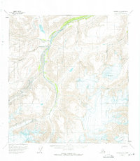
Other maps of this area

1950 · Nabesna
USGS Topo · 1:250,000

1951 · McCarthy
USGS Topo · 1:250,000

1951 · Nabesna
USGS Topo · 1:250,000

1959 · Nabesna A-6
USGS Topo · 1:63,360

1959 · Nabesna A-4
USGS Topo · 1:63,360

1959 · McCarthy D-7
USGS Topo · 1:63,360

1959 · Nabesna A-5
USGS Topo · 1:63,360

1960 · Nabesna B-4
USGS Topo · 1:63,360

1960 · Nabesna B-5
USGS Topo · 1:63,360

1960 · McCarthy D-6
USGS Topo · 1:63,360