
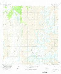
1959 Map of Nabesna A-4
USGS Topo · Published 1966About this map
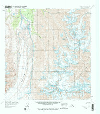
Orange Hill stands as a rare outpost of human activity amidst the massive ice flows and glacial valleys of this Alaskan interior landscape in the late 1950s. The region is dominated by the sprawling Nabesna Glacier, its surface marked by extensive crevasses that testify to the slow, powerful movement of the ice. To the north, the Nabesna River winds through the drainage basin, fed by high-altitude tributaries including Monte Cristo Creek and Bond Creek.
Find a feature on this map
13 named features on this map. Tap any name to fly to it.
Don’t see what you’re looking for? This feature index may not catch every label — zoom into the map to look around manually.
Map Details
Editions of this 1959 Nabesna A-4 Map
3 editions found
Other maps of this area

1950 · Nabesna
USGS Topo · 1:250,000

1951 · McCarthy
USGS Topo · 1:250,000

1951 · Nabesna
USGS Topo · 1:250,000

1959 · Nabesna A-5
USGS Topo · 1:63,360

1960 · Nabesna B-4
USGS Topo · 1:63,360

1960 · Nabesna B-5
USGS Topo · 1:63,360

1960 · Nabesna A-3
USGS Topo · 1:63,360

1960 · McCarthy D-6
USGS Topo · 1:63,360

1960 · Nabesna
USGS Topo · 1:250,000

1960 · Nabesna B-3
USGS Topo · 1:63,360