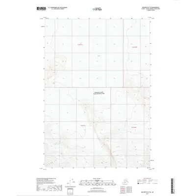
2017 Map of McCarthy D-7 SE
USGS Topo · Published 2017About this map
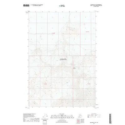
Wrangell-Saint Elias National Park dominates this landscape, capturing a massive expanse of the Alaskan interior where the terrain rises sharply into high-altitude ridges. The northern portion of the map is defined by the Nabesna Glacier, one of the most prominent ice fields in the region. This 2017 survey illustrates the complex glacial topography and the extreme vertical relief of the mountains south of the glacier. While largely devoid of human settlements or infrastructure, the map serves as a primary record of the hydrological and geological state of this protected wilderness in the early 21st century. The intricate contour lines reveal the steep slopes and high peaks that characterize the borderlands between the Nabesna drainage and the high alpine reaches of the park.
Find a feature on this map
6 named features on this map. Tap any name to fly to it.
Don’t see what you’re looking for? This feature index may not catch every label — zoom into the map to look around manually.
Map Details
Editions of this 2017 McCarthy D-7 SE Map
This is the sole edition of this map. No revisions or reprints were ever made.
Other maps of this area

1951 · McCarthy
USGS Topo · 1:250,000

1959 · McCarthy D-7
USGS Topo · 1:63,360

1959 · McCarthy C-6
USGS Topo · 1:63,360

1959 · McCarthy C-7
USGS Topo · 1:63,360

1960 · McCarthy D-6
USGS Topo · 1:63,360

1960 · McCarthy
USGS Topo · 1:250,000
1993 · McCarthy C-6
USGS Topo · 1:63,360
1995 · McCarthy C-7
USGS Topo · 1:63,360
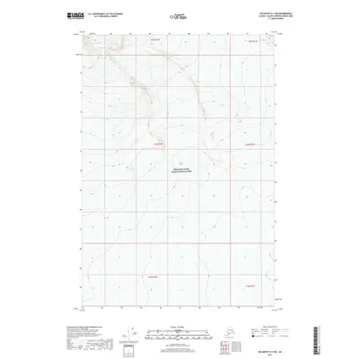
2017 · McCarthy D-7 NW
USGS Topo · 1:25,000
2017 · McCarthy D-7 SW
USGS Topo · 1:25,000