
1959 Map of McCarthy C-7
USGS Topo · Published 1966About this map
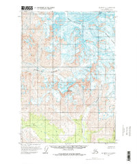
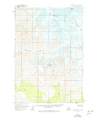
Mount Blackburn dominates the northern reaches of this glacial landscape, serving as a massive headwall for the expansive ice fields that define the region. In this late 1950s environment, the Kennicott Glacier and Kuskulana Glacier represent the primary drainage systems, moving immense volumes of ice through high-altitude basins. Below the permanent ice line, the terrain transitions into a network of steep valleys carved by the Lakina River and its tributary, Mill Creek. To the south, the lower elevations near the Chokosna River show the only significant vegetation on the sheet, marking the edge of the high alpine zone. The prominent spire of Castle Peak stands as a distinct landmark between the major glacial tongues, illustrating the severe erosional forces at work in this part of the Wrangell Mountains.
Find a feature on this map
9 named features on this map. Tap any name to fly to it.
Don’t see what you’re looking for? This feature index may not catch every label — zoom into the map to look around manually.
Map Details
Editions of this 1959 McCarthy C-7 Map
3 editions found
Other maps of this area

1951 · McCarthy
USGS Topo · 1:250,000

1951 · McCarthy C-8
USGS Topo · 1:63,360

1951 · McCarthy B-8
USGS Topo · 1:63,360

1959 · McCarthy B-6
USGS Topo · 1:63,360

1959 · McCarthy D-7
USGS Topo · 1:63,360

1959 · McCarthy C-6
USGS Topo · 1:63,360

1959 · McCarthy B-7
USGS Topo · 1:63,360

1960 · McCarthy D-8
USGS Topo · 1:63,360

1960 · McCarthy D-6
USGS Topo · 1:63,360

1960 · McCarthy
USGS Topo · 1:250,000