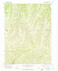
1971 Map of McCarthy Gulch
USGS Topo · Published 1974About this map
The Naval Shale Oil Reserve occupies the southern portion of this 1971 survey, marking a landscape defined by industrial interest in the energy resources of the Piceance Basin. This high-country drainage network, situated along the Rio Blanco Co Garfield Co line, is carved by deep canyons including McCarthy Gulch and Litchliter Gulch. The terrain is characterized by numerous prospect sites and scattered drill holes, indicating the systematic exploration of the region’s geology during the early 1970s.
Find a feature on this map
25 named features on this map. Tap any name to fly to it.
Don’t see what you’re looking for? This feature index may not catch every label — zoom into the map to look around manually.
Map Details
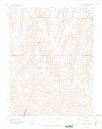
Editions of this 1971 McCarthy Gulch Map
2 editions found
Other maps of this area

1906 · Grand Hogback
USGS Topo · 1:125,000

1910 · Grand Hogback
USGS Topo · 1:125,000

1925 · Parachute Creek
USGS Topo · 1:62,500

1927 · Parachute Creek
USGS Topo · 1:62,500

1952 · Rio Blanco
USGS Topo · 1:24,000

1952 · Anvil Points
USGS Topo · 1:24,000

1952 · Jessup Gulch
USGS Topo · 1:24,000

1952 · No Name Ridge
USGS Topo · 1:24,000

1956 · Grand Junction
USGS Topo · 1:250,000

1957 · Leadville
USGS Topo · 1:250,000