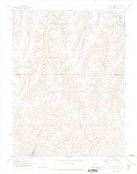
1971 Map of McCarthy Gulch
USGS Topo · Published 1974About this map
Naval Oil Shale Reserve land dominates the southeastern portion of this terrain, marking a period of intense federal interest in energy resources in western Colorado. The map records a landscape defined by a complex network of drainage systems, including McCarthy Gulch, Schutte Gulch, and Harrison Gulch, which carve through the high plateaus. The boundary between Rio Blanco Co and Garfield Co bisects the sheet, indicating the administrative divide in this resource-rich region. Dozens of labels for Prospects are scattered across the slopes, particularly near East Fork and West Fork Piceance Creek, signaling active mineral exploration. Transportation in the early 1970s was limited to a rudimentary system of Jeep Trails that followed the ridgelines and gulch floors, connecting remote drill holes and survey points across the Middle Fork Parachute Creek.
Find a feature on this map
24 named features on this map. Tap any name to fly to it.
Don’t see what you’re looking for? This feature index may not catch every label — zoom into the map to look around manually.
Map Details
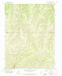
Editions of this 1971 McCarthy Gulch Map
2 editions found
Other maps of this area

1906 · Grand Hogback
USGS Topo · 1:125,000

1910 · Grand Hogback
USGS Topo · 1:125,000

1925 · Parachute Creek
USGS Topo · 1:62,500

1927 · Parachute Creek
USGS Topo · 1:62,500

1952 · Rio Blanco
USGS Topo · 1:24,000

1952 · Anvil Points
USGS Topo · 1:24,000

1952 · Jessup Gulch
USGS Topo · 1:24,000

1952 · No Name Ridge
USGS Topo · 1:24,000

1956 · Grand Junction
USGS Topo · 1:250,000

1957 · Leadville
USGS Topo · 1:250,000