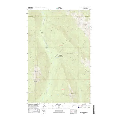
2017 Map of McCartney Peak
USGS Topo · Published 2017About this map
McCartney Peak and the high alpine ridges of the Olympic Mountains dominate this 2017 survey of the deep interior within Olympic National Park. The landscape is defined by the headwaters of several major drainage systems, including the Elwha River, Goldie River, and Hayes River, which carve through steep-walled valleys such as Press Valley. This modern topographic study captures the high-elevation glaciated terrain around the Lillian Glacier and Lake Lillian just as the region transitioned into the 21st century.
Find a feature on this map
24 named features on this map. Tap any name to fly to it.
Don’t see what you’re looking for? This feature index may not catch every label — zoom into the map to look around manually.
Map Details
Editions of this 2017 McCartney Peak Map
This is the sole edition of this map. No revisions or reprints were ever made.
Other maps of this area

1935 · Mount Olympus
USGS Topo · 1:62,500

1938 · Mt Constance
USGS Topo · 1:125,000

1942 · Mount Olympus
USGS Topo · 1:62,500

1944 · Mt. Angeles
USGS Topo · 1:62,500

1946 · Mt. Angeles
USGS Topo · 1:62,500

1947 · Mt. Steel
USGS Topo · 1:62,500

1947 · Mt Christie
USGS Topo · 1:62,500

1950 · Mt Christie
USGS Topo · 1:62,500

1950 · Mt. Steel
USGS Topo · 1:62,500

1950 · Hurricane Hill
USGS Topo · 1:24,000