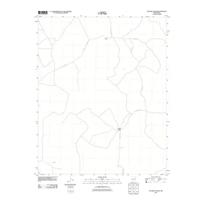
2010 Map of McCarty Ranch
USGS Topo · Published 2010About this map
McCarty Ranch and the surrounding high plains of Harding County are documented here through a network of rural routes and remote homestead sites. The landscape is defined by its sparse settlement pattern, where named locations like Brown Place and Webster serve as critical landmarks in an otherwise open terrain. These small outposts are connected by an extensive system of secondary roads, including County Road F and County Road G, which facilitate movement between the cattle ranches of this high desert region. The placement of these namesake locations illustrates the enduring importance of individual ranching operations in defining the geography of northeastern New Mexico.
Find a feature on this map
9 named features on this map. Tap any name to fly to it.
Don’t see what you’re looking for? This feature index may not catch every label — zoom into the map to look around manually.
Map Details
Editions of this 2010 McCarty Ranch Map
This is the sole edition of this map. No revisions or reprints were ever made.
Other maps of this area

1930 · Tucumcari
USGS Topo · 1:125,000

1954 · Tucumcari
USGS Topo · 1:250,000

1958 · Tucumcari
USGS Topo · 1:250,000

1962 · Logan
USGS Topo · 1:62,500

1966 · Cherokee Valley
USGS Topo · 1:24,000

1966 · Lockney
USGS Topo · 1:24,000

1966 · Mc Carty Ranch
USGS Topo · 1:24,000

1966 · Mc Cloy Ranch
USGS Topo · 1:24,000

1968 · Montesito Creek
USGS Topo · 1:24,000

1969 · Gallegos NE
USGS Topo · 1:24,000