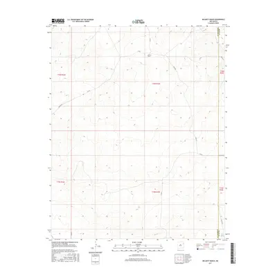
2017 Map of McCarty Ranch
USGS Topo · Published 2017About this map
McCarty Ranch serves as the primary landmark in this high plains landscape of northeastern New Mexico. This 2017 survey details the sectioned ranching land at the border of Harding and Quay counties. The terrain is characterized by subtle drainage patterns leading toward East Sand Springs in the southeast corner. A network of rural roads, including Rosebud Rd and Helms Rd, connects the scattered homesteads and pastures across the townships. The map illustrates the persistent structure of the Public Land Survey System, with township and range lines like t16n r33e defining the organization of this wide-open territory.
Find a feature on this map
18 named features on this map. Tap any name to fly to it.
Don’t see what you’re looking for? This feature index may not catch every label — zoom into the map to look around manually.
Map Details
Editions of this 2017 McCarty Ranch Map
This is the sole edition of this map. No revisions or reprints were ever made.
Other maps of this area

1930 · Tucumcari
USGS Topo · 1:125,000

1954 · Tucumcari
USGS Topo · 1:250,000

1958 · Tucumcari
USGS Topo · 1:250,000

1962 · Logan
USGS Topo · 1:62,500

1966 · Cherokee Valley
USGS Topo · 1:24,000

1966 · Lockney
USGS Topo · 1:24,000

1966 · Mc Carty Ranch
USGS Topo · 1:24,000

1966 · Mc Cloy Ranch
USGS Topo · 1:24,000

1968 · Montesito Creek
USGS Topo · 1:24,000

1969 · Gallegos NE
USGS Topo · 1:24,000