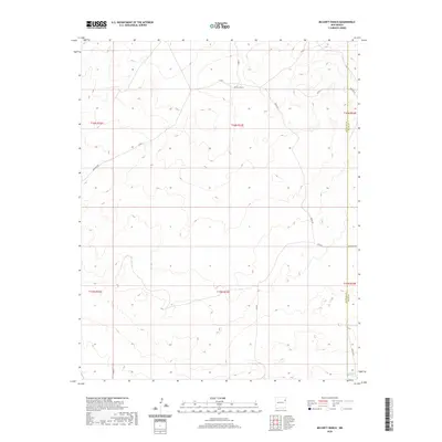
2020 Map of McCarty Ranch
USGS Topo · Published 2020About this map
McCarty Ranch sits at the heart of this high-plains landscape, where the borders of Harding and Quay counties meet. The area is defined by a sparse network of county roads, including Rosebud Rd and Helms Rd, which traverse the open range. Water is a critical and infrequent resource in this arid environment, represented here by East Sand Springs in the southeastern quadrant.
Find a feature on this map
18 named features on this map. Tap any name to fly to it.
Don’t see what you’re looking for? This feature index may not catch every label — zoom into the map to look around manually.
Map Details
Editions of this 2020 McCarty Ranch Map
This is the sole edition of this map. No revisions or reprints were ever made.
Other maps of this area

1930 · Tucumcari
USGS Topo · 1:125,000

1954 · Tucumcari
USGS Topo · 1:250,000

1958 · Tucumcari
USGS Topo · 1:250,000

1962 · Logan
USGS Topo · 1:62,500

1966 · Cherokee Valley
USGS Topo · 1:24,000

1966 · Lockney
USGS Topo · 1:24,000

1966 · Mc Carty Ranch
USGS Topo · 1:24,000

1966 · Mc Cloy Ranch
USGS Topo · 1:24,000

1968 · Montesito Creek
USGS Topo · 1:24,000

1969 · Gallegos NE
USGS Topo · 1:24,000