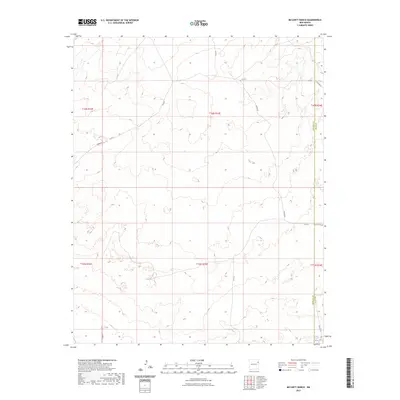
2023 Map of McCarty Ranch
USGS Topo · Published 2023About this map
The border of Harding and Quay counties defines the eastern edge of this ranchland landscape, where water sources like East Sand Springs were critical to local operations. This high plains area is largely characterized by expansive sections of the Public Land Survey System, including portions of t16n r33e and t15n r33e. A network of rural routes, notably Helms Rd and Rosebud Rd, provides access across the township lines. These roads and county lines represent the primary human imprint on the terrain, connecting isolated ranching outposts in a region where the topography is shaped by gradual elevation changes and drainage basins. The map illustrates the late twentieth-century infrastructure of the New Mexico interior, emphasizing the continued importance of range management and local transit routes like Co Rd F and Quay Rd 85.
Find a feature on this map
17 named features on this map. Tap any name to fly to it.
Don’t see what you’re looking for? This feature index may not catch every label — zoom into the map to look around manually.
Map Details
Editions of this 2023 McCarty Ranch Map
This is the sole edition of this map. No revisions or reprints were ever made.
Other maps of this area

1930 · Tucumcari
USGS Topo · 1:125,000

1954 · Tucumcari
USGS Topo · 1:250,000

1958 · Tucumcari
USGS Topo · 1:250,000

1962 · Logan
USGS Topo · 1:62,500

1966 · Cherokee Valley
USGS Topo · 1:24,000

1966 · Lockney
USGS Topo · 1:24,000

1966 · Mc Carty Ranch
USGS Topo · 1:24,000

1966 · Mc Cloy Ranch
USGS Topo · 1:24,000

1968 · Montesito Creek
USGS Topo · 1:24,000

1969 · Gallegos NE
USGS Topo · 1:24,000