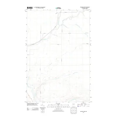
2013 Map of McCarty River
USGS Topo · Published 2013About this map
The Saint Louis River and its intricate tributaries dominate this section of Saint Louis County, where the landscape is defined by the winding paths of the McCarty River, the Whiteface River, and the Little Whiteface River. This aquatic network indicates the low-lying, wetland character of the region, where water determines the local geography.
Find a feature on this map
13 named features on this map. Tap any name to fly to it.
Don’t see what you’re looking for? This feature index may not catch every label — zoom into the map to look around manually.
Map Details
Editions of this 2013 McCarty River Map
This is the sole edition of this map. No revisions or reprints were ever made.
Other maps of this area

1953 · Brookston NW
USGS Topo · 1:24,000

1953 · Duluth
USGS Topo · 1:250,000

1954 · Martin Lake
USGS Topo · 1:24,000

1954 · Hibbing
USGS Topo · 1:250,000

1957 · Hibbing
USGS Topo · 1:250,000

1958 · Hibbing
USGS Topo · 1:250,000

1958 · Duluth
USGS Topo · 1:250,000

1963 · Gowan
USGS Topo · 1:24,000

1963 · Prairie Lake
USGS Topo · 1:24,000

1963 · Elmer
USGS Topo · 1:24,000