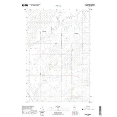
2019 Map of McCarty River
USGS Topo · Published 2019About this map
The Saint Louis River winds through this expansive section of Saint Louis County, joined by its northern tributaries including the Whiteface River and Little Whiteface River. This 2019 survey documents a landscape defined by water management and wetland navigation, most notably the sprawling Toivola Swamp which dominates the northern portion of the quadrangle. The grid of rural roads, such as Suonvieri Rd and Hingeley Rd, reveals the settlement patterns of this northern timber and wetland region. The presence of Ditch 4-11 Rd reflects a history of systematic drainage efforts to reclaim portions of the low-lying terrain. To the south, the namesake McCarty River cuts through the marshy interior, while major arteries like Hwy 29 and Hwy 8 provide modern transit corridors through the remote townships.
Find a feature on this map
22 named features on this map. Tap any name to fly to it.
Don’t see what you’re looking for? This feature index may not catch every label — zoom into the map to look around manually.
Map Details
Editions of this 2019 McCarty River Map
This is the sole edition of this map. No revisions or reprints were ever made.
Other maps of this area

1953 · Brookston NW
USGS Topo · 1:24,000

1953 · Duluth
USGS Topo · 1:250,000

1954 · Martin Lake
USGS Topo · 1:24,000

1954 · Hibbing
USGS Topo · 1:250,000

1957 · Hibbing
USGS Topo · 1:250,000

1958 · Hibbing
USGS Topo · 1:250,000

1958 · Duluth
USGS Topo · 1:250,000

1963 · Gowan
USGS Topo · 1:24,000

1963 · Prairie Lake
USGS Topo · 1:24,000

1963 · Elmer
USGS Topo · 1:24,000