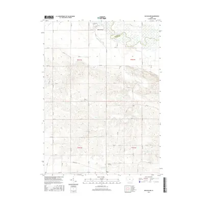
2015 Map of McCausland
USGS Topo · Published 2015About this map
The Wapsipinicon River meanders across the northern portion of this landscape, forming the natural boundary between Clinton and Scott Counties. The town of McCausland serves as a primary settlement point just north of the river, while the smaller community of Argo sits to the south. This area is characterized by a high density of rural burial grounds, including the McCausland Cem, Fessler Cem, and LeClaire Prairie Cem, which offer significant value for genealogical research. The drainage patterns of Lost Cr, McCarty Cr, and Bud Cr define the rolling topography of eastern Iowa, cutting through agricultural sections divided by a rigorous grid of gravel roads like Bluff Rd and 210th Ave. Significant local landmarks such as Mount Union Cem and Salem Cem are preserved within these sections, marking the social and historical centers of the early farming community.
Find a feature on this map
54 named features on this map. Tap any name to fly to it.
Don’t see what you’re looking for? This feature index may not catch every label — zoom into the map to look around manually.
Map Details
Editions of this 2015 McCausland Map
This is the sole edition of this map. No revisions or reprints were ever made.
Other maps of this area

1891 · DeWitt
USGS Topo · 1:62,500

1891 · Davenport
USGS Topo · 1:62,500

1892 · Goose Lake
USGS Topo · 1:62,500

1892 · Leclaire
USGS Topo · 1:62,500

1893 · Leclaire
USGS Topo · 1:62,500

1894 · Goose Lake
USGS Topo · 1:62,500

1894 · Davenport
USGS Topo · 1:62,500

1899 · Clinton
USGS Topo · 1:125,000

1901 · Rock Island
USGS Topo · 1:125,000

1910 · Rock Island
USGS Topo · 1:125,000