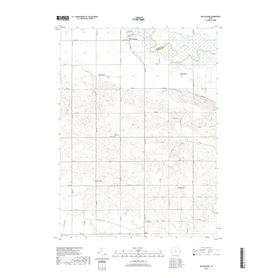
2018 Map of McCausland
USGS Topo · Published 2018About this map
McCausland sits at the northern edge of this Scott County landscape, positioned where the valley floor meets the upland plains just south of the Wapsipinicon River. The town's grid is anchored by McCausland Cem and a network of rural routes like W 1st St and E Ives St that connect it to the surrounding agricultural district. The terrain is defined by a series of drainage systems, including Lost Cr and Bud Cr, which have carved intricate contours across the township lines of t80n r4e and t79n r5e.
Find a feature on this map
40 named features on this map. Tap any name to fly to it.
Don’t see what you’re looking for? This feature index may not catch every label — zoom into the map to look around manually.
Map Details
Editions of this 2018 McCausland Map
This is the sole edition of this map. No revisions or reprints were ever made.
Other maps of this area

1891 · DeWitt
USGS Topo · 1:62,500

1891 · Davenport
USGS Topo · 1:62,500

1892 · Goose Lake
USGS Topo · 1:62,500

1892 · Leclaire
USGS Topo · 1:62,500

1893 · Leclaire
USGS Topo · 1:62,500

1894 · Goose Lake
USGS Topo · 1:62,500

1894 · Davenport
USGS Topo · 1:62,500

1899 · Clinton
USGS Topo · 1:125,000

1901 · Rock Island
USGS Topo · 1:125,000

1910 · Rock Island
USGS Topo · 1:125,000