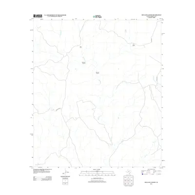
2013 Map of McClain Canyon
USGS Topo · Published 2013About this map
McClain Canyon and the surrounding drainage network of Terrell County define this high-desert landscape in the early twenty-first century. The area is characterized by vast ranching tracts, most notably the Gatlin Ranch in the northwest and McClain Ranch to the east. These properties are situated among the deeply incised paths of Sanderson Cr and Seminole Canyon, where seasonal water flow and occasional springs like Indian Wells Spring dictate the utility of the land. Remote access is maintained through gravel and dirt routes such as Lower Gatlin Rd and Morgan Rd, which connect these isolated holdings to the wider West Texas region. The mapping of Garcia Cr and Persimmon Cr further illustrates the complex watershed that eventually funnels toward the Rio Grande basin.
Find a feature on this map
12 named features on this map. Tap any name to fly to it.
Don’t see what you’re looking for? This feature index may not catch every label — zoom into the map to look around manually.
Map Details
Editions of this 2013 McClain Canyon Map
This is the sole edition of this map. No revisions or reprints were ever made.
Other maps of this area

1918 · Dryden Crossing
USGS Topo · 1:62,500

1918 · Indian Wells
USGS Topo · 1:62,500

1928 · Sanderson
USGS Topo · 1:125,000

1954 · Fort Stockton
USGS Topo · 1:250,000

1958 · Fort Stockton
USGS Topo · 1:250,000

1959 · Emory Peak
USGS Topo · 1:250,000

1965 · Emory Peak
USGS Topo · 1:250,000

1968 · Dryden
USGS Topo · 1:24,000

1969 · Sanderson SE
USGS Topo · 1:24,000

1969 · Mofeta
USGS Topo · 1:24,000