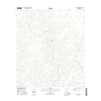
2016 Map of McClain Canyon
USGS Topo · Published 2016About this map
McClain Canyon and Seminole Canyon dominate this part of Terrell County, where the desert landscape is defined by deep drainage networks. The drainage of Sanderson Creek cuts through the western portion of the quadrangle, while Persimmon Creek and Garcia Creek serve the eastern and southern reaches. Water sources are scarce in this arid environment, making Indian Wells Spring a critical landmark for the region. The map reveals the sparse infrastructure of the area, primarily consisting of isolated routes like Lower Gatlin Road and Harrison Road, which navigate the complex topography. This survey captures the remote character of West Texas ranching country, showing how human movement is strictly dictated by the natural corridors of the canyon systems.
Find a feature on this map
8 named features on this map. Tap any name to fly to it.
Don’t see what you’re looking for? This feature index may not catch every label — zoom into the map to look around manually.
Map Details
Editions of this 2016 McClain Canyon Map
This is the sole edition of this map. No revisions or reprints were ever made.
Other maps of this area

1918 · Dryden Crossing
USGS Topo · 1:62,500

1918 · Indian Wells
USGS Topo · 1:62,500

1928 · Sanderson
USGS Topo · 1:125,000

1954 · Fort Stockton
USGS Topo · 1:250,000

1958 · Fort Stockton
USGS Topo · 1:250,000

1959 · Emory Peak
USGS Topo · 1:250,000

1965 · Emory Peak
USGS Topo · 1:250,000

1968 · Dryden
USGS Topo · 1:24,000

1969 · Sanderson SE
USGS Topo · 1:24,000

1969 · Mofeta
USGS Topo · 1:24,000