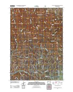
2011 Map of McClellan Mountain
USGS Topo · Published 2011About this map
McClellan Mountain dominates this high-elevation landscape in Grant County, where the terrain is defined by a series of prominent peaks and deep drainage basins. To the north, First Peak and Second Peak rise above the headwaters of Moon Creek and McClellan Creek, while Cinnabar Mountain stands as a notable landmark to the east. The southern portion of the map reveals a dense network of watercourses including Murderers Creek and its many tributaries like Charlie Mack Creek and Luce Creek. This area is characterized by high meadows and flats, most notably Riley Creek Meadows and Bear Flat, which likely served as important seasonal grazing or transit points. Geological and geographic interest is found in features such as The Hole and Packsaddle Gap, along with numerous springs like Cold Spring and Hoppy Spring that provide vital water sources in this elevated interior region.
Find a feature on this map
44 named features on this map. Tap any name to fly to it.
Don’t see what you’re looking for? This feature index may not catch every label — zoom into the map to look around manually.
Map Details
Editions of this 2011 McClellan Mountain Map
This is the sole edition of this map. No revisions or reprints were ever made.
Other maps of this area

1940 · Mount Vernon
USGS Topo · 1:62,500

1940 · Aldrich Mtn.
USGS Topo · 1:62,500

1943 · Aldrich Mtn.
USGS Topo · 1:62,500

1943 · Mount Vernon
USGS Topo · 1:62,500

1955 · Canyon City
USGS Topo · 1:250,000

1959 · Canyon City
USGS Topo · 1:250,000

1961 · Logdell
USGS Topo · 1:62,500

1961 · Izee
USGS Topo · 1:62,500

1972 · Big Weasel Sprs
USGS Topo · 1:24,000
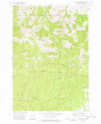
1972 · Mc Clellan Mtn
USGS Topo · 1:24,000