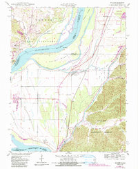
1947 Map of McClure
USGS Topo · Published 1990About this map
The Mississippi River creates a complex landscape of islands and chutes along the Illinois-Missouri border, where the bottomlands of Alexander County meet the eastern edge of the Ozarks. In the mid-century, this riverine environment supported a network of drainage infrastructure, such as the Big Inch Ditch and Old Clear Creek, designed to manage the fertile but flood-prone soils. Large landforms like Devils Island and Swiftsure Towhead dominate the river channel, while the eastern bluffs rise into the Shawnee National Forest. Small communities and local landmarks are scattered throughout the quadrangle, including the settlements of McClure, Gale, and East Cape Girardeau. Rural life is anchored by sites like Hobbs Chapel and the Brooks Sch, while the presence of the State Conservation Area and various levees reflects the ongoing efforts to balance agricultural production with conservation in this dynamic river valley.
Find a feature on this map
40 named features on this map. Tap any name to fly to it.
Don’t see what you’re looking for? This feature index may not catch every label — zoom into the map to look around manually.
Map Details
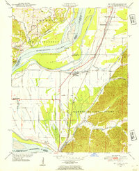
Editions of this 1947 McClure Map
3 editions found
Other maps of this area

1920 · Jonesboro
USGS Topo · 1:62,500

1922 · Cape Girardeau
USGS Topo · 1:62,500

1923 · Jonesboro
USGS Topo · 1:62,500

1924 · Cape Girardeau
USGS Topo · 1:62,500

1934 · Thebes
USGS Topo · 1:62,500

1934 · Morley
USGS Topo · 1:62,500

1939 · Morley
USGS Topo · 1:62,500

1939 · Thebes
USGS Topo · 1:62,500

1947 · Jonesboro
USGS Topo · 1:62,500

1947 · Mc Clure
USGS Topo · 1:24,000