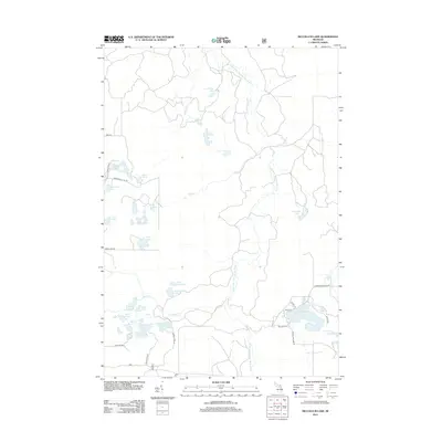
2012 Map of McCollum Lake
USGS Topo · Published 2012About this map
The Upper S Br Thunder Bay River snakes through this forested portion of Alpena County, anchoring a landscape defined by an intricate network of glacial lakes and wetlands. The southeastern corner is the primary hub of human activity, where the waters of McCollum Lake and Cranberry Lake are accessed by local routes like McCollum Lake Rd and Black Rd. This area is also home to the Mooney Cem, a point of interest for genealogists tracing local families in Ossineke Township.
Find a feature on this map
37 named features on this map. Tap any name to fly to it.
Don’t see what you’re looking for? This feature index may not catch every label — zoom into the map to look around manually.
Map Details
Editions of this 2012 McCollum Lake Map
This is the sole edition of this map. No revisions or reprints were ever made.
Other maps of this area

1954 · Traverse City
USGS Topo · 1:250,000

1954 · Tawas City
USGS Topo · 1:250,000
1955 · Comins
USGS Topo · 1:62,500

1958 · Traverse City
USGS Topo · 1:250,000

1958 · Tawas City
USGS Topo · 1:250,000
1972 · McKinley
USGS Topo · 1:24,000
1972 · Curran
USGS Topo · 1:24,000
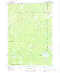
1972 · McCollum Lake
USGS Topo · 1:24,000
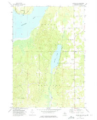
1972 · Beaver Lake
USGS Topo · 1:24,000
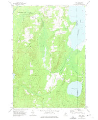
1972 · Rust
USGS Topo · 1:24,000