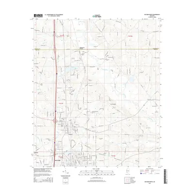
2015 Map of McComb North
USGS Topo · Published 2015About this map
Johnstons Station and Summit anchor this 2015 survey of the corridor between the Lincoln Co and Pike Co line. The landscape is defined by a dense network of family and community cemeteries, including the Old Friendship Cem, Jewish Cem, and Bolian Cem, which offer significant value for genealogical research in this part of Mississippi. The Illinois Central Railroad runs north-south through the center of the map, a historical transit artery that shaped these settlements long before the modern highway system.
Find a feature on this map
191 named features on this map. Tap any name to fly to it.
Don’t see what you’re looking for? This feature index may not catch every label — zoom into the map to look around manually.
Map Details
Editions of this 2015 McComb North Map
This is the sole edition of this map. No revisions or reprints were ever made.
Other maps of this area

1953 · Natchez
USGS Topo · 1:250,000

1956 · Natchez
USGS Topo · 1:250,000

1959 · Natchez
USGS Topo · 1:250,000

1972 · West Lincoln
USGS Topo · 1:24,000

1972 · Auburn
USGS Topo · 1:24,000

1972 · Ruth
USGS Topo · 1:24,000

1972 · Pricedale
USGS Topo · 1:24,000

1972 · Bogue Chitto
USGS Topo · 1:24,000

1972 · McComb South
USGS Topo · 1:24,000

1972 · Lake Tangipahoa
USGS Topo · 1:24,000