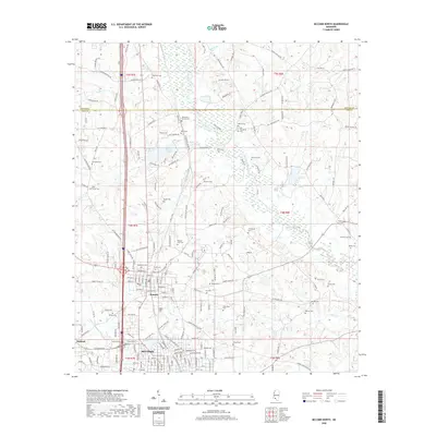
2020 Map of McComb North
USGS Topo · Published 2020About this map
Summit and the northern outskirts of McComb anchor the southwestern portion of this Pike County landscape. The area is defined by a dense concentration of small burial sites, including the Jewish Cem and Woodlawn Cem, reflecting the deep familial roots of these communities. To the north, Dixie Springs Lake and the winding course of the Bogue Chitto river dominate the rural terrain. The network of county roads, such as Co Line Rd W and Old Brookhaven Rd, connects isolated settlements like Oakland and several eponymous cemeteries including Johnstons Station Cem and Dickerson Cem. This 2020 layout illustrates the modern interface between the growing town centers and the traditional Mississippi backcountry, where the Little Tangipahoa River and Beaver Cr drain the timber-lined lowlands.
Find a feature on this map
110 named features on this map. Tap any name to fly to it.
Don’t see what you’re looking for? This feature index may not catch every label — zoom into the map to look around manually.
Map Details
Editions of this 2020 McComb North Map
This is the sole edition of this map. No revisions or reprints were ever made.
Other maps of this area

1953 · Natchez
USGS Topo · 1:250,000

1956 · Natchez
USGS Topo · 1:250,000

1959 · Natchez
USGS Topo · 1:250,000

1972 · West Lincoln
USGS Topo · 1:24,000

1972 · Auburn
USGS Topo · 1:24,000

1972 · Ruth
USGS Topo · 1:24,000

1972 · Pricedale
USGS Topo · 1:24,000

1972 · Bogue Chitto
USGS Topo · 1:24,000

1972 · McComb South
USGS Topo · 1:24,000

1972 · Lake Tangipahoa
USGS Topo · 1:24,000