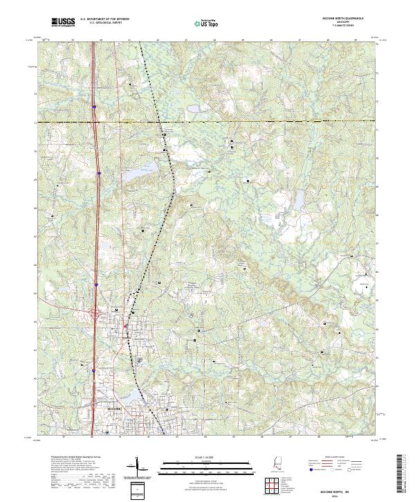
2024 Map of McComb North
USGS Topo · Published 2024About this map
The city of McComb and the town of Summit anchor this modern-day landscape in Pike County, Mississippi. This area serves as an educational hub, centered around the Southwest Mississippi Community College campus located just north of the city. The terrain is defined by the winding course of the Bogue Chitto and the Little Tangipahoa River, which shape the drainage patterns for the surrounding timber and agricultural lands.
Find a feature on this map
194 named features on this map. Tap any name to fly to it.
Don’t see what you’re looking for? This feature index may not catch every label — zoom into the map to look around manually.
Map Details
Editions of this 2024 McComb North Map
This is the sole edition of this map. No revisions or reprints were ever made.
Other maps of this area

1953 · Natchez
USGS Topo · 1:250,000

1956 · Natchez
USGS Topo · 1:250,000

1959 · Natchez
USGS Topo · 1:250,000

1972 · West Lincoln
USGS Topo · 1:24,000

1972 · Auburn
USGS Topo · 1:24,000

1972 · Ruth
USGS Topo · 1:24,000

1972 · Pricedale
USGS Topo · 1:24,000

1972 · Bogue Chitto
USGS Topo · 1:24,000

1972 · McComb South
USGS Topo · 1:24,000

1972 · Lake Tangipahoa
USGS Topo · 1:24,000