
1972 Map of McComb South
USGS Topo · Published 1974About this map
MC Comb and Magnolia anchor this Mississippi landscape in the early 1970s, connected by the busy corridor of the Illinois Central Gulf railroad. The map documents a mix of urban development and rural tradition, from the gridded streets of Bear Town and Fernwood to the sprawling Percy Quin State Park on the western edge. Public life is visible through institutions like Denman Jr High Sch, the McComb-Pike County Airport, and the County Fairground.
Find a feature on this map
55 named features on this map. Tap any name to fly to it.
Don’t see what you’re looking for? This feature index may not catch every label — zoom into the map to look around manually.
Map Details
Editions of this 1972 McComb South Map
This is the sole edition of this map. No revisions or reprints were ever made.
Other maps of this area

1953 · Natchez
USGS Topo · 1:250,000

1956 · Natchez
USGS Topo · 1:250,000

1959 · Natchez
USGS Topo · 1:250,000
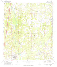
1972 · Osyka
USGS Topo · 1:24,000

1972 · Auburn
USGS Topo · 1:24,000

1972 · Pricedale
USGS Topo · 1:24,000

1972 · Lake Tangipahoa
USGS Topo · 1:24,000
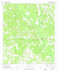
1972 · Holmesville
USGS Topo · 1:24,000
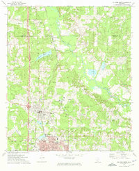
1972 · McComb North
USGS Topo · 1:24,000
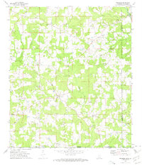
1972 · Progress
USGS Topo · 1:24,000