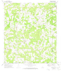
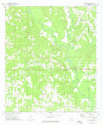
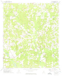
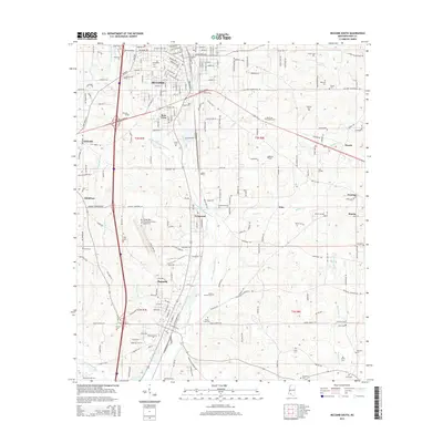
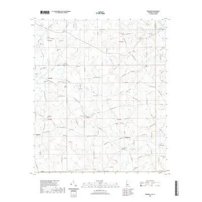
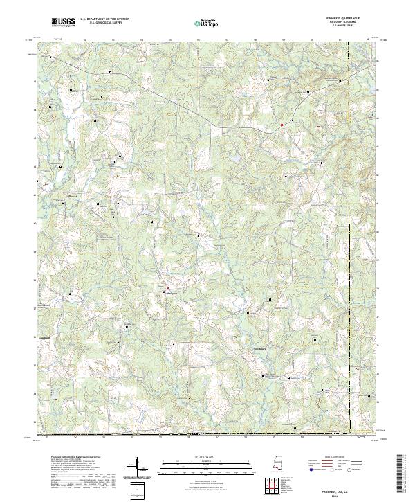
1972 Map of Progress
USGS Topo · Published 1975About this map
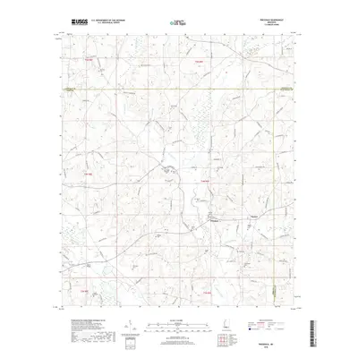
Family-named cemeteries and rural churches dot the landscape of southern Mississippi along the Louisiana border, centered on the community of Progress. The area is defined by the winding course of the Bogue Chitto and its tributaries, including the Bala Chitto and Silver Creek. Near the state line, social life and local history are anchored at the Vale Community Center and a network of small congregations like Silver Creek Ch and Shady Grove Ch.
Find a feature on this map
42 named features on this map. Tap any name to fly to it.
Don’t see what you’re looking for? This feature index may not catch every label — zoom into the map to look around manually.
Map Details
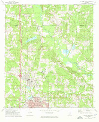
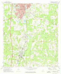
Editions of this 1972 Progress Map
2 editions found
Historical Maps of Gladhurst Through Time
30 maps found
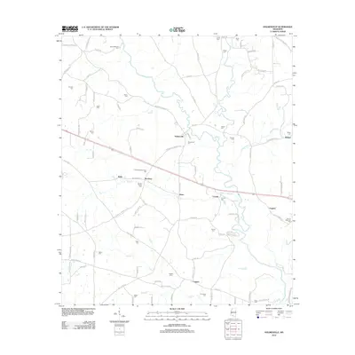
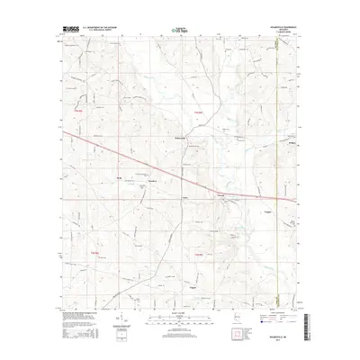
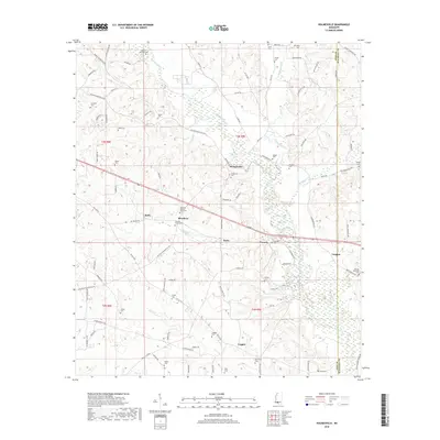
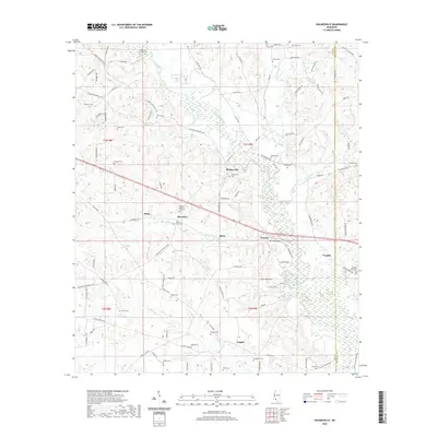
1972 Holmesville
Pike County, MS
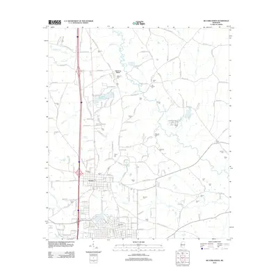
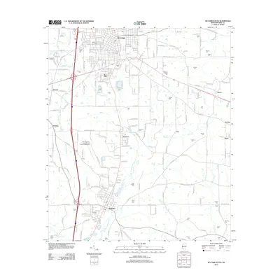
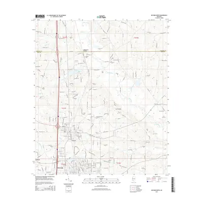
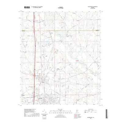
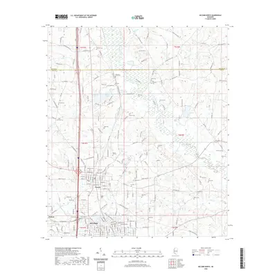
1972 McComb North
Pike County, MS
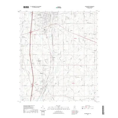
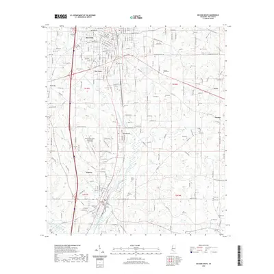
1972 McComb South
Pike County, MS
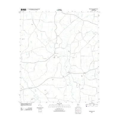
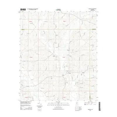
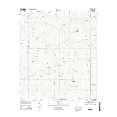
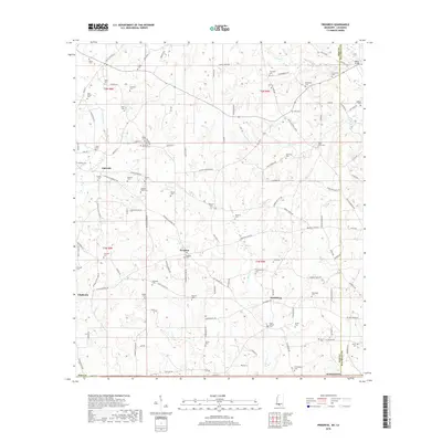
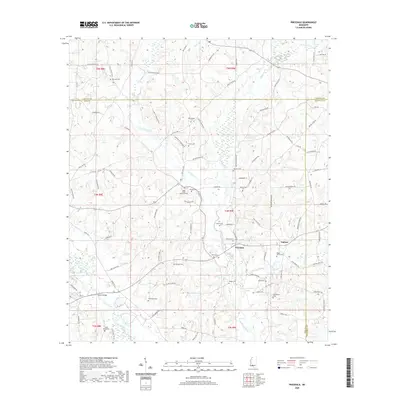
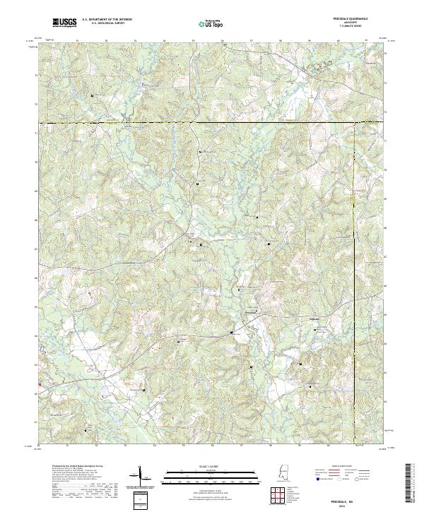
1972 Pricedale
Pike County, MS

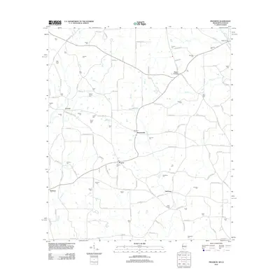
1972 Progress
Pike County, MS
2012 Holmesville
Pike County, MS
2012 McComb North
Pike County, MS
2012 McComb South
Pike County, MS
2012 Pricedale
Pike County, MS
2012 Progress
Pike County, MS
2015 Holmesville
Pike County, MS
2015 McComb North
Pike County, MS
2015 McComb South
Pike County, MS
2015 Pricedale
Pike County, MS
2015 Progress
Pike County, MS
2018 Holmesville
Pike County, MS
2018 McComb North
Pike County, MS
2018 McComb South
Pike County, MS
2018 Pricedale
Pike County, MS
2018 Progress
Pike County, MS
2020 Holmesville
Pike County, MS
2020 McComb North
Pike County, MS
2020 McComb South
Pike County, MS
2020 Pricedale
Pike County, MS
2020 Progress
Pike County, MS
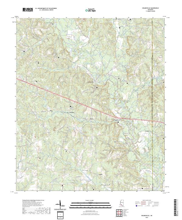
2024 Holmesville
Pike County, MS
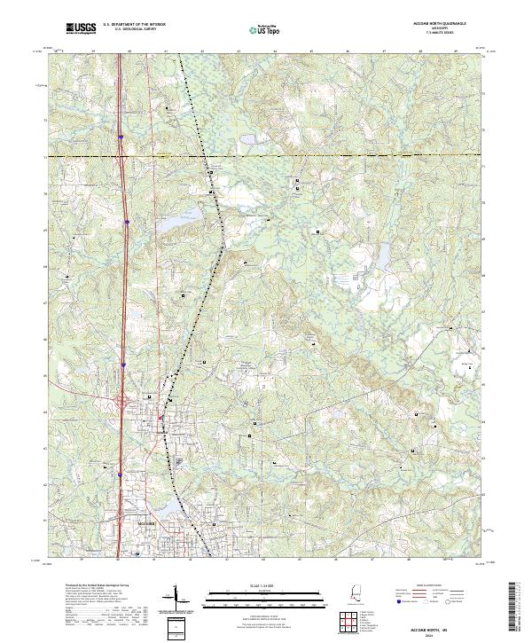
2024 McComb North
Pike County, MS
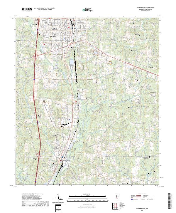
2024 McComb South
Pike County, MS
2024 Pricedale
Pike County, MS
2024 Progress
Pike County, MS