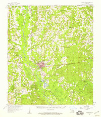
1958 Map of Franklinton
USGS Topo · Published 1959About this map
Franklinton serves as the central hub of this 1950s survey, situated where the Gulf Mobile and Ohio railroad corridor meets the winding Bogue Chitto. The landscape is defined by its deep network of family-named cemeteries and rural congregations, reflecting the genealogical roots of Washington Parish. From the Washington Sch and High Sch in the parish seat to outlying communities like Warnerton and Hackley, the map shows a well-established rural infrastructure of churches such as Mt Pisgah Ch and Bellevue Ch.
Find a feature on this map
106 named features on this map. Tap any name to fly to it.
Don’t see what you’re looking for? This feature index may not catch every label — zoom into the map to look around manually.
Map Details
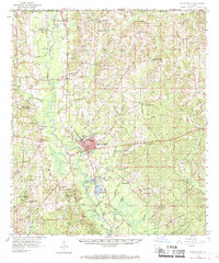
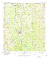
Editions of this 1958 Franklinton Map
3 editions found
Other maps of this area

1939 · Zona
USGS Topo · 1:31,680

1939 · Sunny Hill
USGS Topo · 1:31,680

1939 · Clifton
USGS Topo · 1:31,680

1942 · Husser
USGS Topo · 1:31,680

1942 · Thigpen
USGS Topo · 1:31,680

1942 · Wilmer
USGS Topo · 1:31,680

1942 · Rio
USGS Topo · 1:31,680

1942 · Thomas
USGS Topo · 1:31,680

1949 · Bogalusa West
USGS Topo · 1:31,680

1950 · Folsom
USGS Topo · 1:31,680