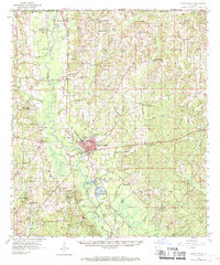
1958 Map of Franklinton
USGS Topo · Published 1969About this map
The Bogue Chitto River defines the landscape of central Washington Parish, flanked by the Gulf Mobile and Ohio railroad corridor. In this mid-century survey, the parish seat of Franklinton serves as the regional hub, anchored by its High Sch and proximity to the river's winding path. The surrounding countryside is dotted with family-named landmarks and rural congregations like Sunlight Ch and Mt Pisgah Ch, reflecting the deep-rooted community structure of the era. To the north, the Mississippi state line borders Warnerton and Hackley, where the terrain transitions into a dense network of tributaries including Hays Creek and Lawrence Creek. This sheet provides an invaluable look at the distribution of cemeteries such as Jenkins Cem and Magee Cem, which are essential for tracing local family history and ancestral settlements in the Piney Woods region.
Find a feature on this map
84 named features on this map. Tap any name to fly to it.
Don’t see what you’re looking for? This feature index may not catch every label — zoom into the map to look around manually.
Map Details
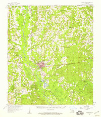
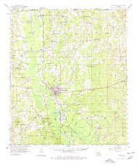
Editions of this 1958 Franklinton Map
3 editions found
Other maps of this area

1939 · Zona
USGS Topo · 1:31,680

1939 · Sunny Hill
USGS Topo · 1:31,680

1939 · Clifton
USGS Topo · 1:31,680

1942 · Husser
USGS Topo · 1:31,680

1942 · Thigpen
USGS Topo · 1:31,680

1942 · Wilmer
USGS Topo · 1:31,680

1942 · Rio
USGS Topo · 1:31,680

1942 · Thomas
USGS Topo · 1:31,680

1949 · Bogalusa West
USGS Topo · 1:31,680

1950 · Folsom
USGS Topo · 1:31,680