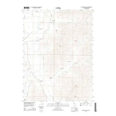
2015 Map of McConaughy Gulch
USGS Topo · Published 2015About this map
Scott Valley forms the western lowland of this Siskiyou County landscape, where the Scott River winds northward, fed by numerous mountain tributaries. The eastern half of the terrain is defined by a dense network of drainages including Heartstrand Gulch, Dockery Gulch, and McConaughy Gulch, all descending from the high ridges marked by Denny Point. To the southwest, the foothills of the Marble Mountains begin their ascent, with French Cr and Miners Cr providing the primary drainage routes. The presence of roads like Timmons Ranch Rd and Eastside Rd trace the agricultural and ranching footprint of this valley, while the higher elevations remain dominated by the complex topographic contours of the gulches. This document provides a look at the land's surface shortly after the turn of the 21st century, showing how modern ranching access follows the historic natural corridors of the river basin.
Find a feature on this map
34 named features on this map. Tap any name to fly to it.
Don’t see what you’re looking for? This feature index may not catch every label — zoom into the map to look around manually.
Map Details
Editions of this 2015 McConaughy Gulch Map
This is the sole edition of this map. No revisions or reprints were ever made.
Other maps of this area

1886 · Shasta
USGS Topo · 1:250,000

1894 · Shasta
USGS Topo · 1:250,000

1923 · Sawyers Bar
USGS Topo · 1:125,000

1931 · Etna
USGS Topo · 1:96,000

1932 · Yreka
USGS Topo · 1:96,000

1934 · Etna
USGS Topo · 1:125,000

1939 · Yreka
USGS Topo · 1:125,000

1948 · Weed
USGS Topo · 1:250,000

1950 · Weed
USGS Topo · 1:250,000

1954 · Yreka
USGS Topo · 1:62,500