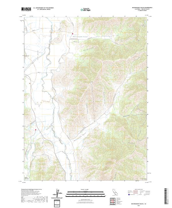
2021 Map of McConaughy Gulch
USGS Topo · Published 2021About this map
Scott Valley dominates the western portion of this Siskiyou County landscape, where the Scott River meanders through agricultural lands and ranching properties. The terrain transitions sharply to the east into a complex network of ridges and drainages, including McConaughy Gulch, Indian Gulch, and Dockery Gulch. These features descend from high points like Denny Point, illustrating the high-relief topography characteristic of northern California.
Find a feature on this map
37 named features on this map. Tap any name to fly to it.
Don’t see what you’re looking for? This feature index may not catch every label — zoom into the map to look around manually.
Map Details
Editions of this 2021 McConaughy Gulch Map
This is the sole edition of this map. No revisions or reprints were ever made.
Other maps of this area

1886 · Shasta
USGS Topo · 1:250,000

1894 · Shasta
USGS Topo · 1:250,000

1923 · Sawyers Bar
USGS Topo · 1:125,000

1931 · Etna
USGS Topo · 1:96,000

1932 · Yreka
USGS Topo · 1:96,000

1934 · Etna
USGS Topo · 1:125,000

1939 · Yreka
USGS Topo · 1:125,000

1948 · Weed
USGS Topo · 1:250,000

1950 · Weed
USGS Topo · 1:250,000

1954 · Yreka
USGS Topo · 1:62,500