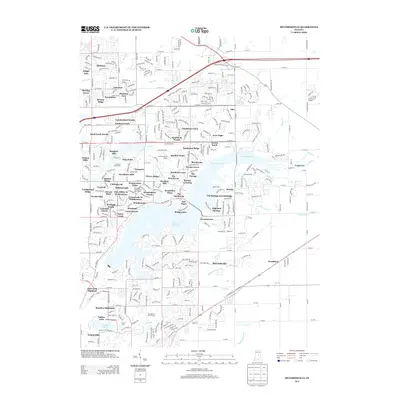
2013 Map of McCordsville
USGS Topo · Published 2013About this map
Geist Reservoir dominates this landscape northeast of Indianapolis, its many arms and fingers creating a complex shoreline that defines the suburban development of the early 21st century. The map reveals an intricate network of residential enclaves, ranging from established neighborhoods like Plantana and Sweetbriar in the northwest to more recent developments such as Bridgewater and Windermere Pointe clustered near the water. This period reflects a significant transition from rural acreage to planned communities, where the recreational draw of the reservoir is central to the local geography.
Find a feature on this map
87 named features on this map. Tap any name to fly to it.
Don’t see what you’re looking for? This feature index may not catch every label — zoom into the map to look around manually.
Map Details
Editions of this 2013 McCordsville Map
This is the sole edition of this map. No revisions or reprints were ever made.
Other maps of this area

1948 · Indianapolis East
USGS Topo · 1:24,000

1952 · Cumberland
USGS Topo · 1:24,000

1952 · Greenfield
USGS Topo · 1:24,000

1952 · Fishers
USGS Topo · 1:24,000

1952 · Ingalls
USGS Topo · 1:24,000

1952 · Mc Cordsville
USGS Topo · 1:24,000

1953 · Lapel
USGS Topo · 1:24,000

1953 · Riverwood
USGS Topo · 1:24,000

1953 · Noblesville
USGS Topo · 1:24,000

1953 · Cincinnati
USGS Topo · 1:250,000