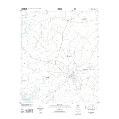
2011 Map of McCormick
USGS Topo · Published 2011About this map
McCormick serves as the focal point of this South Carolina Piedmont landscape, where the intersection of local industry and rural heritage is clearly visible. The town's infrastructure is anchored by facilities like the McCormick County Fairground, the McCormick Lookout Tower, and its dual aviation sites, including the McCormick County Airport. Genealogists will find significant value in the distribution of family-named burial sites, such as the Wideman-Harris-Wilks Cemetery and Overbrook Cemetery, which are scattered throughout the surrounding timberlands and small communities like Troy and Buffalo.
Find a feature on this map
56 named features on this map. Tap any name to fly to it.
Don’t see what you’re looking for? This feature index may not catch every label — zoom into the map to look around manually.
Map Details
Editions of this 2011 McCormick Map
This is the sole edition of this map. No revisions or reprints were ever made.
Other maps of this area

1892 · Mc Cormick
USGS Topo · 1:125,000

1892 · Abbeville
USGS Topo · 1:125,000

1912 · Mc Cormick
USGS Topo · 1:125,000

1948 · Verdery
USGS Topo · 1:24,000

1949 · Calhoun Creek
USGS Topo · 1:24,000

1950 · Bradley
USGS Topo · 1:24,000

1950 · Verdery
USGS Topo · 1:24,000

1953 · Athens
USGS Topo · 1:250,000

1954 · Greenville
USGS Topo · 1:250,000

1958 · Greenville
USGS Topo · 1:250,000