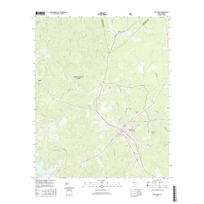
2017 Map of McCormick
USGS Topo · Published 2017About this map
Sumter National Forest dominates the wooded topography of this South Carolina Piedmont landscape, where the town of McCormick serves as the regional hub at the junction of several historic routes. The map records a dense network of local history markers, including the McCormick City Cem and the Old McCormick Town Reservoir. To the north, the small settlement of Troy sits along the county line, while the western edge of the quadrangle reaches the shoreline of the J. Strom Thurmond Reservoir. The mapping of family-named burial sites such as the Wideman - Harris - Wilks Cem and Buffalo Cem provides specific data points for genealogical research. The drainage patterns of Long Cane Creek and Taylor Creek define the ridges and valleys that shaped the area's early roads and settlement clusters like Buffalo.
Find a feature on this map
57 named features on this map. Tap any name to fly to it.
Don’t see what you’re looking for? This feature index may not catch every label — zoom into the map to look around manually.
Map Details
Editions of this 2017 McCormick Map
This is the sole edition of this map. No revisions or reprints were ever made.
Other maps of this area

1892 · Mc Cormick
USGS Topo · 1:125,000

1892 · Abbeville
USGS Topo · 1:125,000

1912 · Mc Cormick
USGS Topo · 1:125,000

1948 · Verdery
USGS Topo · 1:24,000

1949 · Calhoun Creek
USGS Topo · 1:24,000

1950 · Bradley
USGS Topo · 1:24,000

1950 · Verdery
USGS Topo · 1:24,000

1953 · Athens
USGS Topo · 1:250,000

1954 · Greenville
USGS Topo · 1:250,000

1958 · Greenville
USGS Topo · 1:250,000