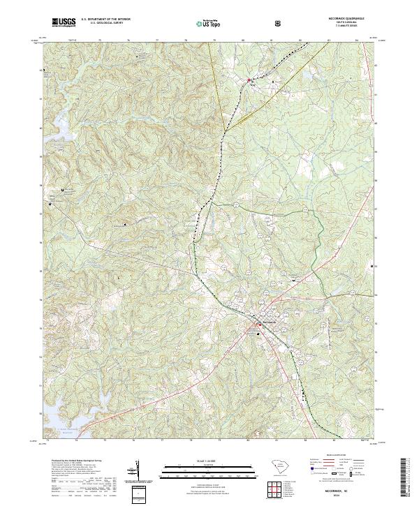
2024 Map of McCormick
USGS Topo · Published 2024About this map
The McCormick County Courthouse anchors the town of McCormick, a community defined by its intersection of major regional roads and its proximity to the expansive Sumter National Forest. The landscape here transitions from the rolling wooded hills of the national forest to the managed waters of the Strom Thurmond Reservoir at the western edge. Historical markers are prominent throughout the region, including the Long Canes Massacre Gravesite in the north and various family and community burial grounds such as Troy Cem and the Wideman Cem. Significant religious sites like Holy Spring Baptist Church and Buffalo Baptist Church suggest established rural congregations. This area is heavily influenced by the drainage basins of Long Cane Creek and Rocky Creek, which have shaped the settlement patterns and road networks since the 18th century.
Find a feature on this map
76 named features on this map. Tap any name to fly to it.
Don’t see what you’re looking for? This feature index may not catch every label — zoom into the map to look around manually.
Map Details
Editions of this 2024 McCormick Map
This is the sole edition of this map. No revisions or reprints were ever made.
Other maps of this area

1892 · Mc Cormick
USGS Topo · 1:125,000

1892 · Abbeville
USGS Topo · 1:125,000

1912 · Mc Cormick
USGS Topo · 1:125,000

1948 · Verdery
USGS Topo · 1:24,000

1949 · Calhoun Creek
USGS Topo · 1:24,000

1950 · Bradley
USGS Topo · 1:24,000

1950 · Verdery
USGS Topo · 1:24,000

1953 · Athens
USGS Topo · 1:250,000

1954 · Greenville
USGS Topo · 1:250,000

1958 · Greenville
USGS Topo · 1:250,000