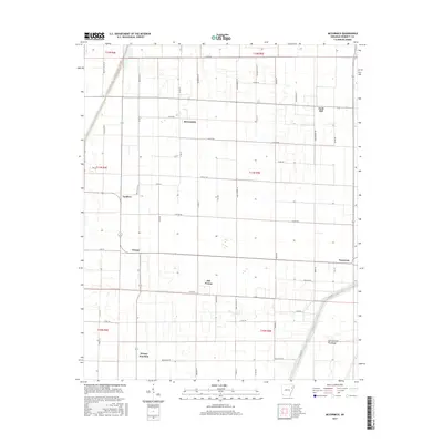
2017 Map of McCormick
USGS Topo · Published 2017About this map
The agrarian landscape of Poinsett County is defined here by a precise grid of drainage ditches and county roads, reflecting the engineering required to manage the flat bottomlands. McCormick and Judd Hill sit near the center of a network of family-named lanes and agricultural routes like Maple Grove Rd and Taylor Rd. The southern portion of the map highlights the shift in local settlement patterns, featuring Weona, Old Weona, and Weona Junction clustered near the transit corridors. These small communities, once vital to the local farming economy, are situated just west of the Oak Donnick Floodway, a significant water management feature that protects the surrounding fields. The presence of Payneway at the eastern edge and Landers to the west further illustrates the dispersal of local hubs across this fertile region during the late twenty-first century.
Find a feature on this map
55 named features on this map. Tap any name to fly to it.
Don’t see what you’re looking for? This feature index may not catch every label — zoom into the map to look around manually.
Map Details
Editions of this 2017 McCormick Map
This is the sole edition of this map. No revisions or reprints were ever made.
Other maps of this area

1940 · Deckerville
USGS Topo · 1:62,500

1940 · Princedale
USGS Topo · 1:62,500

1940 · Dee
USGS Topo · 1:62,500

1941 · Marked Tree
USGS Topo · 1:62,500

1953 · Memphis
USGS Topo · 1:250,000

1956 · Marked Tree
USGS Topo · 1:62,500

1956 · Memphis
USGS Topo · 1:250,000

1956 · Princedale
USGS Topo · 1:62,500

1957 · Deckerville
USGS Topo · 1:62,500

1958 · Dee
USGS Topo · 1:62,500