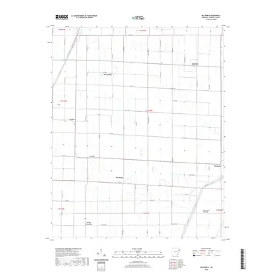
2020 Map of McCormick
USGS Topo · Published 2020About this map
The agricultural landscape of Poinsett County is defined by a rigorous grid of drainage ditches and county roads, reflecting a long history of reclaiming bottomland for farming. At the heart of this region sits McCormick, surrounded by several small settlements that trace the local development pattern, including Judd Hill, Landers, and Weona. The distinction between Old Weona and Weona Junction suggests shifting centers of gravity over time, perhaps following changes in transport or drainage infrastructure.
Find a feature on this map
57 named features on this map. Tap any name to fly to it.
Don’t see what you’re looking for? This feature index may not catch every label — zoom into the map to look around manually.
Map Details
Editions of this 2020 McCormick Map
This is the sole edition of this map. No revisions or reprints were ever made.
Other maps of this area

1940 · Deckerville
USGS Topo · 1:62,500

1940 · Princedale
USGS Topo · 1:62,500

1940 · Dee
USGS Topo · 1:62,500

1941 · Marked Tree
USGS Topo · 1:62,500

1953 · Memphis
USGS Topo · 1:250,000

1956 · Marked Tree
USGS Topo · 1:62,500

1956 · Memphis
USGS Topo · 1:250,000

1956 · Princedale
USGS Topo · 1:62,500

1957 · Deckerville
USGS Topo · 1:62,500

1958 · Dee
USGS Topo · 1:62,500