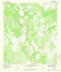
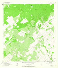
1968 Map of McCoy
USGS Topo · Published 1971About this map
Campbellton and McCoy anchor this Atascosa County landscape in the late 1960s, a region defined by the meandering Atascosa River and its numerous tributaries. The Missouri Pacific railroad cuts a straight diagonal through the terrain, paralleling a major Pipeline that underscores the area's industrial infrastructure. This survey captures a moment when traditional ranching and rural life intersected with resource extraction, evidenced by scattered Oil Wells and a Gravel Pit near the northern reaches of Buckhorn Creek.
Find a feature on this map
22 named features on this map. Tap any name to fly to it.
Don’t see what you’re looking for? This feature index may not catch every label — zoom into the map to look around manually.
Map Details
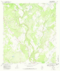
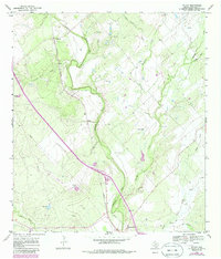
Editions of this 1968 McCoy Map
Other maps of this area

1930 · Whitsett
USGS Topo · 1:62,500

1931 · Falls City
USGS Topo · 1:62,500

1942 · Whitsett
USGS Topo · 1:62,500

1953 · Crystal City
USGS Topo · 1:250,000

1955 · Crystal City
USGS Topo · 1:250,000

1956 · Suniland
USGS Topo · 1:62,500

1956 · Pleasanton
USGS Topo · 1:62,500

1961 · Crystal City
USGS Topo · 1:250,000
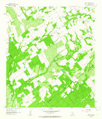
1961 · Three Oaks
USGS Topo · 1:24,000
1961 · Fashing
USGS Topo · 1:24,000