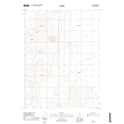
2018 Map of McCoy
USGS Topo · Published 2018About this map
McCoy is situated along the eastern slopes of the Fish Creek Mountains, marking a high-desert landscape in central Nevada. The area is characterized by significant topographic relief, where the mountain range gives way to the open Horseshoe Basin and the valley floor. Transportation in this part of Lander County is defined by the McCoy Mine Rd, which traverses the arid terrain toward the eastern edge of the quadrangle where the Reese River flows. The mapping of township and range lines, such as t29n r42e and t28n r43e, provides a clear framework for the public land divisions that govern this mining and ranching region. The settlement of McCoy itself sits as a lone focal point amidst the complex contours of the foothills.
Find a feature on this map
9 named features on this map. Tap any name to fly to it.
Don’t see what you’re looking for? This feature index may not catch every label — zoom into the map to look around manually.
Map Details
Editions of this 2018 McCoy Map
This is the sole edition of this map. No revisions or reprints were ever made.
Other maps of this area

1932 · Sonoma Range
USGS Topo · 1:250,000

1939 · Sonoma Range
USGS Topo · 1:250,000

1955 · Winnemucca
USGS Topo · 1:250,000

1958 · Winnemucca
USGS Topo · 1:250,000

1961 · McCoy
USGS Topo · 1:62,500

1961 · The Cedars
USGS Topo · 1:62,500

1961 · Mt. Moses
USGS Topo · 1:62,500

1962 · Winnemucca
USGS Topo · 1:250,000

1962 · Buffalo Springs
USGS Topo · 1:62,500

1982 · Fish Creek Mts
USGS Topo · 1:100,000