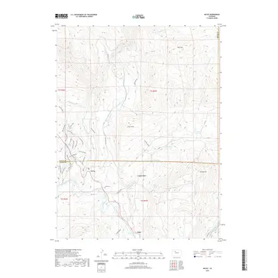
2019 Map of McCoy
USGS Topo · Published 2019About this map
The Colorado River cuts through the southern reaches of this landscape, anchoring the settlements of McCoy and Bond. This 2019 survey documents the intricate water management systems of the Eagle County high country, including the Kayser Mutual Ditch, McCoy Reservoir, and Yarmony Reservoir, which sustain the local ranching environment. The topography is dominated by significant elevations such as Black Mtn and Yarmony Mtn, while Conger Mesa and Cabin Gulch provide distinct geographic boundaries for local land use.
Find a feature on this map
49 named features on this map. Tap any name to fly to it.
Don’t see what you’re looking for? This feature index may not catch every label — zoom into the map to look around manually.
Map Details
Editions of this 2019 McCoy Map
This is the sole edition of this map. No revisions or reprints were ever made.
Other maps of this area

1954 · Craig
USGS Topo · 1:250,000

1956 · Gore Pass
USGS Topo · 1:62,500

1957 · Craig
USGS Topo · 1:250,000

1957 · Leadville
USGS Topo · 1:250,000

1958 · Craig
USGS Topo · 1:250,000

1959 · Leadville
USGS Topo · 1:250,000

1960 · Leadville
USGS Topo · 1:250,000

1960 · Craig
USGS Topo · 1:250,000

1962 · Leadville
USGS Topo · 1:250,000

1962 · Craig
USGS Topo · 1:250,000