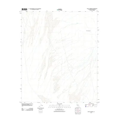
2012 Map of McCoy Spring
USGS Topo · Published 2012About this map
McCoy Mountains dominate the eastern landscape of this Riverside County quadrangle, situated in a desert environment defined by ephemeral drainage patterns. This 2012 survey documents a region where the availability of water is rare, making the presence of McCoy Spring on the eastern slopes of the range a critical focal point for local geography. The map reveals the intricate network of dry washes that fan out from the high ground, illustrating how seasonal water flow shapes the arid basin. Though the area is largely devoid of modern settlements or infrastructure, the naming of these specific landmarks reflects their historical importance to travelers and explorers navigating the Colorado Desert.
Find a feature on this map
2 named features on this map. Tap any name to fly to it.
Don’t see what you’re looking for? This feature index may not catch every label — zoom into the map to look around manually.
Map Details
Editions of this 2012 McCoy Spring Map
This is the sole edition of this map. No revisions or reprints were ever made.
Other maps of this area

1942 · Blythe
USGS Topo · 1:250,000

1945 · Midland
USGS Topo · 1:62,500

1952 · Midland
USGS Topo · 1:62,500

1952 · Mc Coy Spring
USGS Topo · 1:62,500

1952 · Sidewinder Well
USGS Topo · 1:62,500

1952 · Palen Mountains
USGS Topo · 1:62,500

1954 · Salton Sea
USGS Topo · 1:250,000

1955 · Salton Sea
USGS Topo · 1:250,000

1959 · Salton Sea
USGS Topo · 1:250,000

1963 · Salton Sea
USGS Topo · 1:250,000