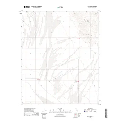
2018 Map of McCoy Spring
USGS Topo · Published 2018About this map
McCoy Mountains rise sharply in the northeastern quadrant of this landscape, creating a distinct vertical relief against the broad, sandy expanses of the Chuckwalla Valley. This arid region in Riverside County is defined by its drainage patterns and the critical water source at McCoy Spring, a vital landmark for desert travelers and local wildlife. The map captures a largely undeveloped stretch of the Colorado Desert, where the topography transition between the valley floor and the mountain slopes dictates the flow of seasonal washes. Detailed township and range lines, such as t5s r19e and t5s r20e, provide a precise grid for those tracing land parcels or early survey routes across this remote part of Southern California.
Find a feature on this map
7 named features on this map. Tap any name to fly to it.
Don’t see what you’re looking for? This feature index may not catch every label — zoom into the map to look around manually.
Map Details
Editions of this 2018 McCoy Spring Map
This is the sole edition of this map. No revisions or reprints were ever made.
Other maps of this area

1942 · Blythe
USGS Topo · 1:250,000

1945 · Midland
USGS Topo · 1:62,500

1952 · Midland
USGS Topo · 1:62,500

1952 · Mc Coy Spring
USGS Topo · 1:62,500

1952 · Sidewinder Well
USGS Topo · 1:62,500

1952 · Palen Mountains
USGS Topo · 1:62,500

1954 · Salton Sea
USGS Topo · 1:250,000

1955 · Salton Sea
USGS Topo · 1:250,000

1959 · Salton Sea
USGS Topo · 1:250,000

1963 · Salton Sea
USGS Topo · 1:250,000