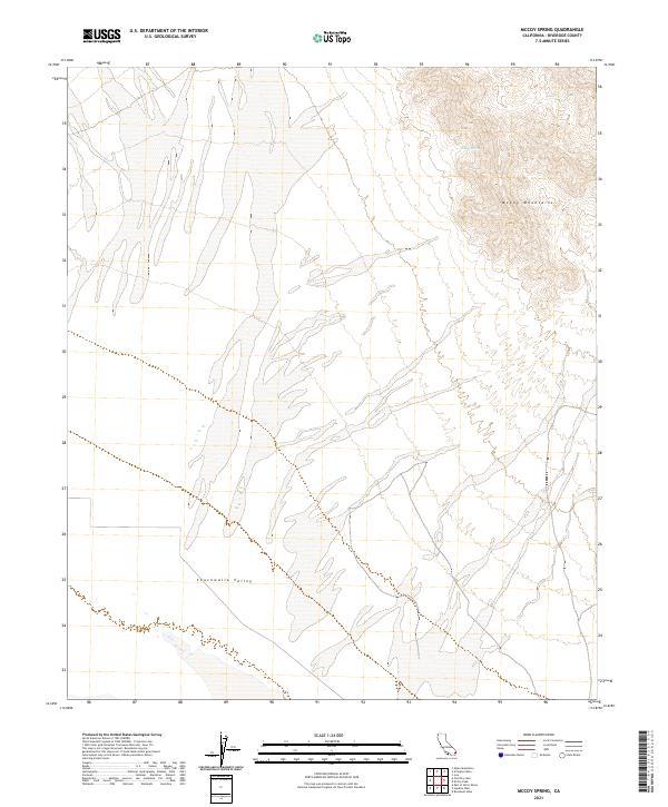
2021 Map of McCoy Spring
USGS Topo · Published 2021About this map
McCoy Mountains rise sharply in the northeastern corner of this Riverside County landscape, providing a stark topographic contrast to the broad expanse of the Chuckwalla Valley below. This arid desert region is defined by complex drainage patterns and alluvial fans that spread across the valley floor, illustrating the hydraulic character of the eastern Colorado Desert. A primary focal point for local history and survival in this environment is McCoy Spring, a critical water source situated high within the mountain range. The map clearly delineates the public land survey system grid, including townships t5s r19e and t6s r20e, which historically governed the mining and grazing claims throughout this remote terrain.
Find a feature on this map
7 named features on this map. Tap any name to fly to it.
Don’t see what you’re looking for? This feature index may not catch every label — zoom into the map to look around manually.
Map Details
Editions of this 2021 McCoy Spring Map
This is the sole edition of this map. No revisions or reprints were ever made.
Other maps of this area

1942 · Blythe
USGS Topo · 1:250,000

1945 · Midland
USGS Topo · 1:62,500

1952 · Midland
USGS Topo · 1:62,500

1952 · Mc Coy Spring
USGS Topo · 1:62,500

1952 · Sidewinder Well
USGS Topo · 1:62,500

1952 · Palen Mountains
USGS Topo · 1:62,500

1954 · Salton Sea
USGS Topo · 1:250,000

1955 · Salton Sea
USGS Topo · 1:250,000

1959 · Salton Sea
USGS Topo · 1:250,000

1963 · Salton Sea
USGS Topo · 1:250,000