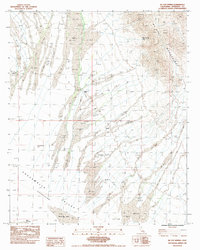
1983 Map of McCoy Spring
USGS Topo · Published 1991About this map
Mc Coy Mountains dominate the northeastern portion of this Riverside County landscape, where the arid terrain is defined by a complex network of seasonal watercourses. The drainage patterns of numerous Dry Wash features converge as they descend toward the Chuckwalla Valley (Depression), illustrating the harsh hydrological realities of the California desert in the early 1980s. A vital water source in this environment is McCoy Spring, situated near the base of the mountains, while the southern reaches are marked by the expansive, flat surface of Ford Dry Lake. Local industry is evidenced by scattered prospects along the mountain slopes, and the area is navigated by primitive 5 Jeep trails. This provisional survey captures the transition from high desert peaks to low-lying basins, documenting the isolation and geological structure of the region prior to more modern developments.
Find a feature on this map
8 named features on this map. Tap any name to fly to it.
Don’t see what you’re looking for? This feature index may not catch every label — zoom into the map to look around manually.
Map Details
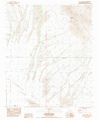
Editions of this 1983 McCoy Spring Map
2 editions found
Other maps of this area

1942 · Blythe
USGS Topo · 1:250,000

1945 · Midland
USGS Topo · 1:62,500

1952 · Midland
USGS Topo · 1:62,500

1952 · Mc Coy Spring
USGS Topo · 1:62,500

1952 · Sidewinder Well
USGS Topo · 1:62,500

1952 · Palen Mountains
USGS Topo · 1:62,500

1954 · Salton Sea
USGS Topo · 1:250,000

1955 · Salton Sea
USGS Topo · 1:250,000

1959 · Salton Sea
USGS Topo · 1:250,000

1963 · Salton Sea
USGS Topo · 1:250,000