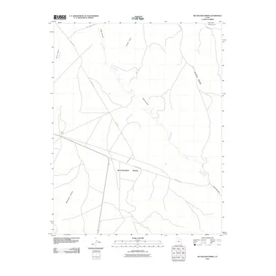
2010 Map of McCracken Spring
USGS Topo · Published 2010About this map
McCracken Mesa dominates this 2010 landscape, a wide elevated expanse defined by its deeply incised drainage systems. The map illustrates a network of rural routes and specialized infrastructure, including Indian Rte-5098 and Race Track Rd, reflecting the area's land use on the Shiprock Agency. Water sources are sparse but clearly marked, from the seasonal Alkali Creek to the specifically noted Alkali Seep, which would have been vital landmarks in this arid region.
Find a feature on this map
18 named features on this map. Tap any name to fly to it.
Don’t see what you’re looking for? This feature index may not catch every label — zoom into the map to look around manually.
Map Details
Editions of this 2010 McCracken Spring Map
This is the sole edition of this map. No revisions or reprints were ever made.
Other maps of this area

1886 · Abajo
USGS Topo · 1:250,000

1892 · Abajo
USGS Topo · 1:250,000

1893 · Abajo
USGS Topo · 1:250,000

1955 · Verdure 3 SE
USGS Topo · 1:24,000

1955 · Verdure 4 SW
USGS Topo · 1:24,000

1956 · Cortez
USGS Topo · 1:250,000

1957 · Aneth 1 NW
USGS Topo · 1:24,000

1957 · Monument Canyon
USGS Topo · 1:62,500

1957 · Blanding
USGS Topo · 1:62,500

1958 · Cortez
USGS Topo · 1:250,000