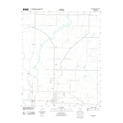
2011 Map of McCrory
USGS Topo · Published 2011About this map
The town of McCrory and the neighboring settlement of Patterson anchor the southern portion of this Woodruff County landscape, defined largely by the meandering Cache River. The river's winding path creates a complex drainage pattern across the western half of the map, contrasting with the structured grid of agricultural roads like James Woods RD and County RD-32. The map reveals a high density of small family and community burial grounds, including the Morning View Cemetery and multiple locations of Fakes Cemetery, which offer valuable data points for local genealogy.
Find a feature on this map
41 named features on this map. Tap any name to fly to it.
Don’t see what you’re looking for? This feature index may not catch every label — zoom into the map to look around manually.
Map Details
Editions of this 2011 McCrory Map
This is the sole edition of this map. No revisions or reprints were ever made.
Other maps of this area

1935 · Augusta
USGS Topo · 1:62,500

1935 · Gregory
USGS Topo · 1:62,500

1939 · Hunter
USGS Topo · 1:62,500

1940 · Tilton
USGS Topo · 1:62,500

1953 · Memphis
USGS Topo · 1:250,000

1956 · Memphis
USGS Topo · 1:250,000

1956 · Tilton
USGS Topo · 1:62,500

1956 · Hunter
USGS Topo · 1:62,500

1957 · Augusta
USGS Topo · 1:62,500

1957 · Gregory
USGS Topo · 1:62,500