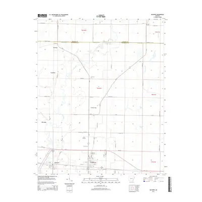
2014 Map of McCrory
USGS Topo · Published 2014About this map
The Cache River meanders through the lowlands of eastern Arkansas, defining the agricultural character of this region where the Jackson and Woodruff County line meets. The landscape is dotted with small, historic communities such as McCrory and Patterson, which serve as local hubs for the surrounding farmsteads. The persistence of small family and community burial sites is evident throughout the quadrangle, including the centrally located Fakes Cem and Morning View Cem to the south.
Find a feature on this map
68 named features on this map. Tap any name to fly to it.
Don’t see what you’re looking for? This feature index may not catch every label — zoom into the map to look around manually.
Map Details
Editions of this 2014 McCrory Map
This is the sole edition of this map. No revisions or reprints were ever made.
Other maps of this area

1935 · Augusta
USGS Topo · 1:62,500

1935 · Gregory
USGS Topo · 1:62,500

1939 · Hunter
USGS Topo · 1:62,500

1940 · Tilton
USGS Topo · 1:62,500

1953 · Memphis
USGS Topo · 1:250,000

1956 · Memphis
USGS Topo · 1:250,000

1956 · Tilton
USGS Topo · 1:62,500

1956 · Hunter
USGS Topo · 1:62,500

1957 · Augusta
USGS Topo · 1:62,500

1957 · Gregory
USGS Topo · 1:62,500