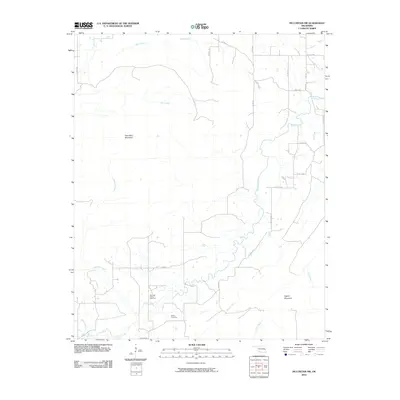
2010 Map of McCurtain SW
USGS Topo · Published 2010About this map
Sans Bois Mountain dominates the northern landscape of this Oklahoma quadrangle, where the terrain transitions into a complex network of stream valleys. The southern portion of the map is defined by the Red Oak-Norris Gas Field, illustrating the area's role in energy production during the early 21st century. Brazil Creek meanders through the central lowlands, joined by numerous tributaries including Owl Creek, Jefferson Creek, and Peach Creek. For those tracing local heritage, Norris Cemetery sits near Norris Rd, providing a specific geographic point for family history research. To the southeast, the elevation rises again at Pigeon Mountain, framing a region characterized by its rugged ridges and the industrial footprint of the gas fields.
Find a feature on this map
28 named features on this map. Tap any name to fly to it.
Don’t see what you’re looking for? This feature index may not catch every label — zoom into the map to look around manually.
Map Details
Editions of this 2010 McCurtain SW Map
This is the sole edition of this map. No revisions or reprints were ever made.
Other maps of this area

1900 · Sansbois
USGS Topo · 1:125,000

1900 · Sallisaw
USGS Topo · 1:125,000

1900 · Winding Stair
USGS Topo · 1:125,000

1901 · Tuskahoma
USGS Topo · 1:125,000

1908 · Tuskahoma
USGS Topo · 1:125,000

1909 · Tuskahoma
USGS Topo · 1:125,000

1909 · Winding Stair
USGS Topo · 1:125,000

1909 · Sans Bois
USGS Topo · 1:125,000

1911 · Sallisaw
USGS Topo · 1:125,000

1911 · Sansbois
USGS Topo · 1:125,000