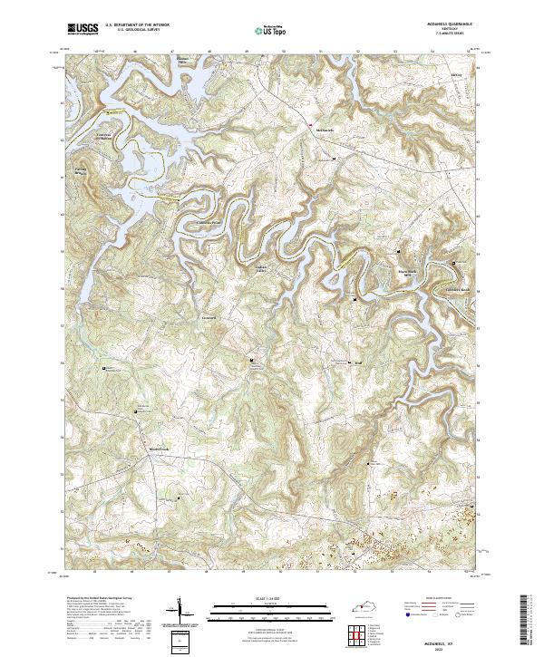
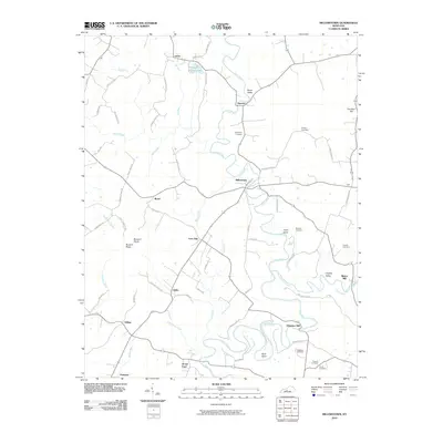
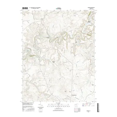
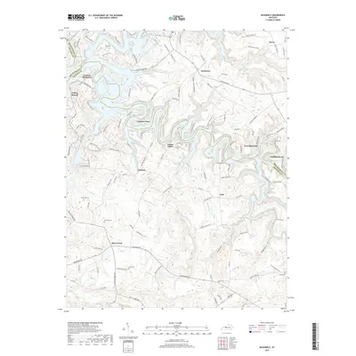
2022 Map of McDaniels
USGS Topo · Published 2022About this map
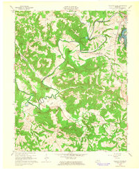
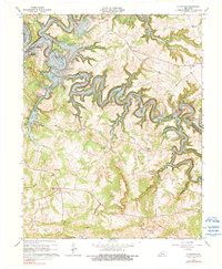
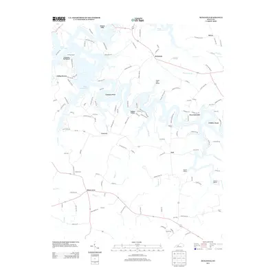
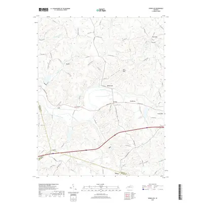
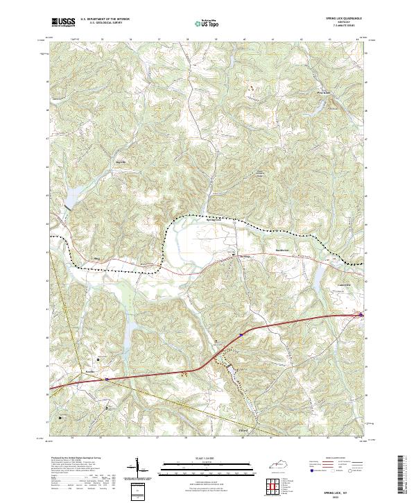
The Rough River snakes across this Kentucky landscape, its waters slowed by the Rough River Lake reservoir which reaches into the northern reaches near Hinton Hills. The boundary between Breckinridge and Grayson counties follows the winding riverbed, carving through a region defined by small agricultural settlements and family homesteads. Genealogists will find a high density of family burial grounds, such as the Ann Mariah Shain Deweese Cem and Shain Cem near Short Creek, alongside community landmarks like the Horn Back Mill. The map documents the rural infrastructure of the early 21st century, from the Pilgrim Missionary Baptist Cem to the scattered hamlets of Duff and McDaniels. Diverse terrain features like Copper Slick Hollow and Cobblers Knob break the forested uplands, illustrating the complex drainage patterns of the North Fork Rough River system.
Find a feature on this map
127 named features on this map. Tap any name to fly to it.
Don’t see what you’re looking for? This feature index may not catch every label — zoom into the map to look around manually.
Map Details
Editions of this 2022 McDaniels Map
This is the sole edition of this map. No revisions or reprints were ever made.
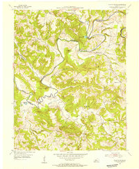
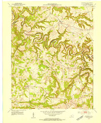
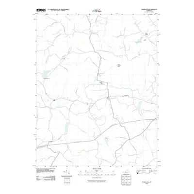
Historical Maps of Hinton Hills Through Time
35 maps found
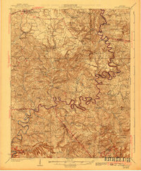
1925 Cub Run
Grayson County, KY
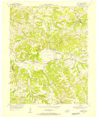
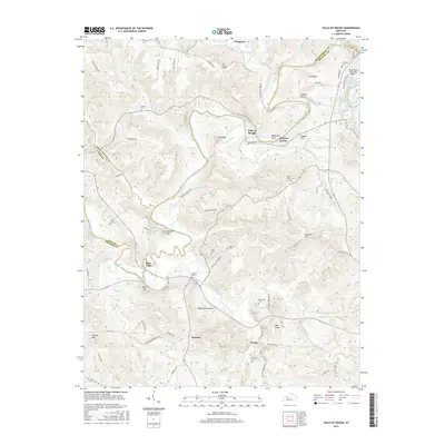
1953 Falls Of Rough
Grayson County, KY
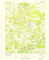
1953 Mc Daniels
Grayson County, KY
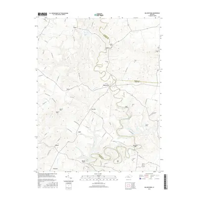
1954 Millerstown
Grayson County, KY
1954 Spring Lick
Grayson County, KY
1963 Falls of Rough
Grayson County, KY
1963 Madrid
Grayson County, KY
1963 Mc Daniels
Grayson County, KY

1967 Millerstown
Grayson County, KY
1971 Spring Lick
Grayson County, KY
2010 Falls of Rough
Grayson County, KY

2010 Madrid
Grayson County, KY
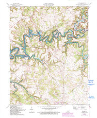
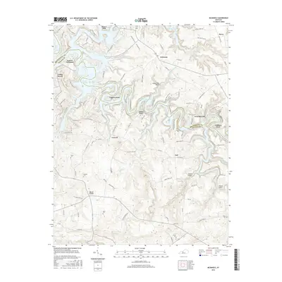
2010 McDaniels
Grayson County, KY
2010 Millerstown
Grayson County, KY
2010 Spring Lick
Grayson County, KY
2013 Falls of Rough
Grayson County, KY
2013 Madrid
Grayson County, KY
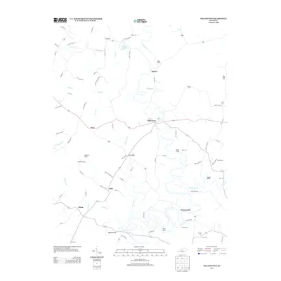
2013 McDaniels
Grayson County, KY
2013 Millerstown
Grayson County, KY
2013 Spring Lick
Grayson County, KY
2016 Falls of Rough
Grayson County, KY
2016 Madrid
Grayson County, KY
2016 McDaniels
Grayson County, KY
2016 Millerstown
Grayson County, KY
2016 Spring Lick
Grayson County, KY
2019 Falls of Rough
Grayson County, KY
2019 Madrid
Grayson County, KY
2019 McDaniels
Grayson County, KY
2019 Millerstown
Grayson County, KY
2019 Spring Lick
Grayson County, KY
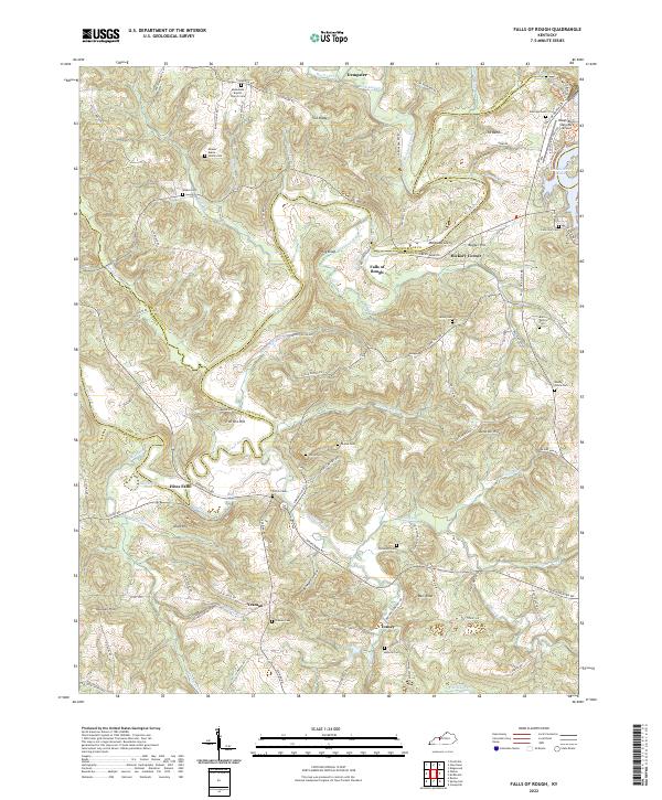
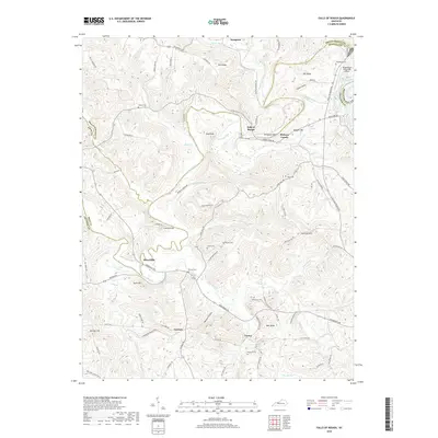
2022 Falls of Rough
Grayson County, KY
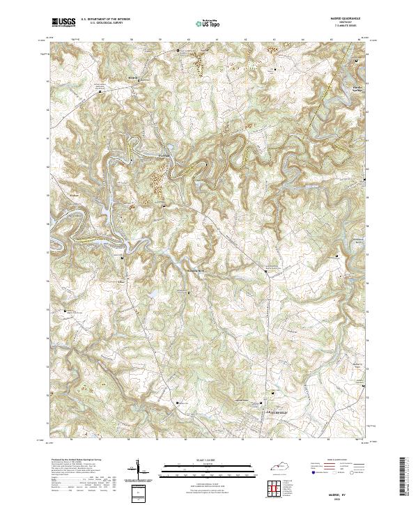
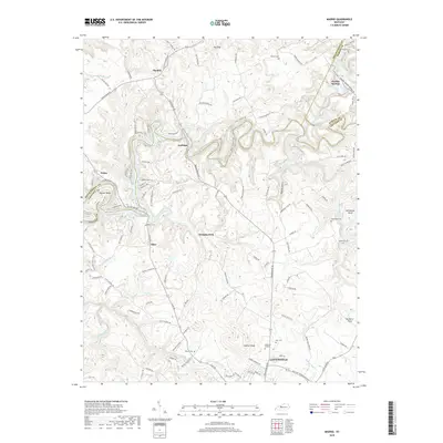
2022 Madrid
Grayson County, KY
2022 McDaniels
Grayson County, KY
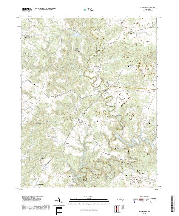
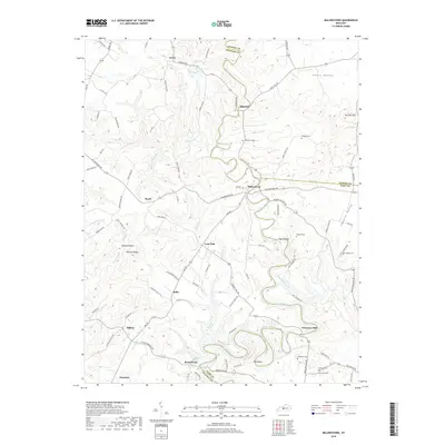
2022 Millerstown
Grayson County, KY
2022 Spring Lick
Grayson County, KY